
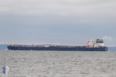
DALI
Tanker
Current Trip
| Time Travelled | 4 days |
|---|---|
| Remaining Time | 21 h, 45 mins |
| Distance Travelled | 755.82 nm |
| Remaining Distance | 214.96 nm |
| AVG Speed | 8.2 Knop |
| MAX Speed | 11.6 Knop |
| AVG Wind | 9.7 knots |
| MAX Wind | 18 knots |
| MIN Temp | 15.3°C / 59.54°F |
| MAX Temp | 19.6°C / 67.28°F |
| Djupgående | 8 m |
| Position mottagen | Nu |
Current Position
| Longitud | 3.54103° |
|---|---|
| Latitude | 37.56473° |
| Status | Under way using engine |
| Fart | 8.9 Knop |
| Kurs | 264° |
| Område | Mediterranean Sea - Western Basin |
| Station | T-AIS |
| Position mottagen | Nu |
Info
Information
The current position of DALI is in Mediterranean Sea - Western Basin with coordinates 37.56473° / 3.54103° as reported on 2024-05-04 18:57 by AIS to our vessel tracker app. The vessel's current speed is 8.9 Knop and is heading at the port of ARZEW. The estimated time of arrival as calculated by MyShipTracking vessel tracking app is 2024-05-05 16:43 LT
The vessel DALI (MMSI: 319147800) is a Tanker It's sailing under the flag of [KY] Cayman Is.
In this page you can find informations about the vessels current position, last detected port calls, and current voyage information. If the vessels is not in coverage by AIS you will find the latest position.
The current position of DALI is detected by our AIS receivers and we are not responsible for the reliability of the data. The last position was recorded while the vessel was in Coverage by the Ais receivers of our vessel tracking app.
The current draught of DALI as reported by AIS is 8 meters
Weather
| Temperature | 19°C / 66.2°F |
|---|---|
| Wind Speed | 9 knots |
| Direction | 105° ESE |
| Pressure | 1017.4 hPa |
| Humidity | 55.7 % |
| Cloud Coverage | 17 % |
Featured Company
Most Visited Ports (Last year)
| Port | Arrivals | |
|---|---|---|
| 3 | ||
| 2 | ||
| 2 | ||
| 1 | ||
| 1 | ||
| 1 |
Events
| Tid | Event | Detaljer | Position / Dest | Information |
|---|---|---|---|---|
| 2024-05-04 17:56 | Status ändrad | Under way using engine Default |
37.57832 / 3.74438
DZAZW
|
Fart: 9.8 kn Kurs: 266° |
| 2024-05-04 17:40 | Status ändrad | Default Under way using engine |
37.58179 / 3.79792
DZAZW
|
Fart: 8.9 kn Kurs: 264° |
| 2024-05-04 17:26 | Status ändrad | Under way using engine Default |
37.58533 / 3.84802
DZAZW
|
Fart: 9.8 kn Kurs: 265° |
| 2024-05-04 17:20 | Status ändrad | Default Under way using engine |
37.58657 / 3.86639
DZAZW
|
Fart: 8.9 kn Kurs: 264° |
| 2024-05-04 16:52 | Status ändrad | Under way using engine Default |
37.59282 / 3.96607
DZAZW
|
Fart: 10.1 kn Kurs: 266° |
| 2024-05-04 16:40 | Status ändrad | Default Under way using engine |
37.59517 / 4.00623
DZAZW
|
Fart: 9.9 kn Kurs: 265° |
| 2024-05-04 16:33 | Status ändrad | Under way using engine Default |
37.59684 / 4.03233
DZAZW
|
Fart: 10.1 kn Kurs: 265° |
| 2024-05-04 16:29 | I täckningsområde |
37.59684 / 4.03233
Mediterranean Sea - Western Basin
|
Fart: 9.9 kn Kurs: 265° |
|
| 2024-05-04 15:08 | Status ändrad | Default Under way using engine |
37.61671 / 4.33568
DZAZW
|
Fart: 10.2 kn Kurs: 266.1° |
| 2024-05-04 15:02 | UTANFÖR täckningsområde |
37.61823 / 4.35942
Mediterranean Sea - Western Basin
|
Fart: 10.2 kn Kurs: 266.1° |