
PLUTO
Container Ship
Current Trip
| Time Travelled | 10 days |
|---|---|
| Remaining Time | --- |
| Distance Travelled | 102.78 морская миля |
| Remaining Distance | --- |
| AVG Speed | 8.9 Узлы |
| MAX Speed | 9.7 Узлы |
| AVG Wind | 6 knots |
| MAX Wind | 8 knots |
| MIN Temp | 25.7°C / 78.26°F |
| MAX Temp | 28.8°C / 83.84°F |
| Осадка | 6.8 м |
| Позиция Получена | 2 m тому назад |
Current Position
| Долгота | 54.81007° |
|---|---|
| Широта | 25.09690° |
| Статус | At anchor |
| Скорость | |
| Курс | 38° |
| Район | Persian Gulf |
| Станция | T-AIS |
| Позиция Получена | 2 m тому назад |
Info
Information
The current position of PLUTO is in Persian Gulf with coordinates 25.09690° / 54.81007° as reported on 2024-05-05 15:22 by AIS to our vessel tracker app. The vessel's current speed is 0 Узлы
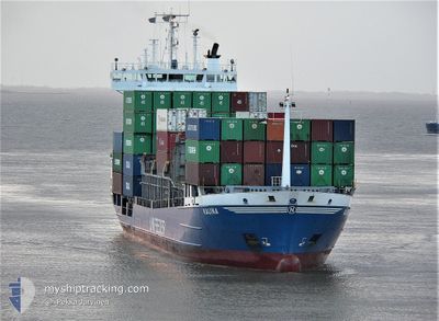
The vessel PLUTO (IMO: 9130444, MMSI: 341274000) is a Container Ship that was built in 1996 ( 28 лет ). It's sailing under the flag of [KN] St Kitts Nevis.
In this page you can find informations about the vessels current position, last detected port calls, and current voyage information. If the vessels is not in coverage by AIS you will find the latest position.
The current position of PLUTO is detected by our AIS receivers and we are not responsible for the reliability of the data. The last position was recorded while the vessel was in Coverage by the Ais receivers of our vessel tracking app.
The current draught of PLUTO as reported by AIS is 6.8 meters
Weather
| Temperature | 28.5°C / 83.3°F |
|---|---|
| Wind Speed | 7 knots |
| Direction | 322° NW |
| Pressure | 1007.9 hPa |
| Humidity | 67.7 % |
| Cloud Coverage | --- |
Featured Company
Most Visited Ports (Last year)
| Port | Arrivals | |
|---|---|---|
| 4 |
Events
| Время | Событие | Детали | Позиция / Направление | Информация |
|---|---|---|---|---|
| 2024-05-05 09:07 | Статус изменился | At anchor Under way using engine |
25.09740 / 54.80969
JEBEL ALI-UAE
|
Скорость: Курс: 65° |
| 2024-05-05 08:29 | Окончание движения | 12.43 nm, North of GHANTOOT |
25.09887 / 54.81118
JEBEL ALI-UAE
|
Скорость: 0.3 kn Курс: 511° |
| 2024-05-05 04:37 | Пункт назначения изменился | JEBEL ALI-UAE SOHAR - OMAN |
25.56039 / 55.07198
JEBEL ALI-UAE
|
Скорость: 9.1 kn Курс: 215.9° |
| 2024-05-05 04:37 | ETA изменился | 2024/05/05 11:00 2024/04/25 17:00 |
25.56039 / 55.07198
JEBEL ALI-UAE
|
Скорость: 9.1 kn Курс: 215.9° |
| 2024-05-05 04:37 | В покрытии |
25.55997 / 55.07166
Persian Gulf
JEBEL ALI-UAE
|
Скорость: 9.1 kn Курс: 215.1° |