
KOM
Cargo
Current Trip
| Time Travelled | 7 days |
|---|---|
| Remaining Time | 22 days |
| Distance Travelled | 1583.53 nm |
| Remaining Distance | 5367.33 nm |
| AVG Speed | 9.7 Knots |
| MAX Speed | 14.1 Knots |
| AVG Wind | 11.1 knots |
| MAX Wind | 24 knots |
| MIN Temp | 0.6°C / 33.08°F |
| MAX Temp | 9.9°C / 49.82°F |
| Draught | 10.2 m |
| Position Received | 1 m ago |
Current Position
| Longitude | --- |
|---|---|
| Latitude | --- |
| Status | Under way using engine |
| Speed | 10.1 Knots |
| Course | 254.8° |
| Area | English Channel |
| Station | T-AIS |
| Position Received | 1 m ago |
Information
The current position of KOM is in English Channel with coordinates 50.58635° / 0.39380° as reported on 2025-03-28 23:26 by AIS to our vessel tracker app. The vessel's current speed is 10.1 Knots and is heading at the port of SANTOS. The estimated time of arrival as calculated by MyShipTracking vessel tracking app is 2025-04-20 13:49 LT
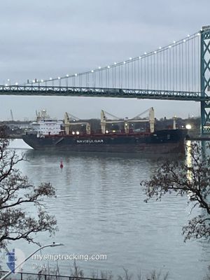
The vessel KOM (IMO: 9905708, MMSI: 229255000) is a Cargo It's sailing under the flag of [MT] Malta.
In this page you can find informations about the vessels current position, last detected port calls, and current voyage information. If the vessels is not in coverage by AIS you will find the latest position.
The current position of KOM is detected by our AIS receivers and we are not responsible for the reliability of the data. The last position was recorded while the vessel was in Coverage by the Ais receivers of our vessel tracking app.
The current draught of KOM as reported by AIS is 10.2 meters
Weather
| Temperature | 8.6°C / 47.48°F |
|---|---|
| Wind Speed | 17 knots |
| Direction | 325° NW |
| Pressure | 1016.8 hPa |
| Humidity | 74.1 % |
| Cloud Coverage | 25 % |
Featured Company
Most Visited Ports (Last year)
| Port | Arrivals | |
|---|---|---|
| 6 | ||
| 4 | ||
| 2 | ||
| 2 | ||
| 2 | ||
| 1 |
Events
| Time | Event | Details | Position / Dest | Info |
|---|---|---|---|---|
| 2025-03-28 23:03 | Status Changed | Under way using engine Default |
50.60255 / .49044
BRSSZ
|
Speed: 9.6 kn Course: 255° |
| 2025-03-28 22:58 | Status Changed | Default Under way using engine |
50.60628 / .51157
BRSSZ
|
Speed: 9.5 kn Course: 252.9° |
| 2025-03-28 22:52 | Status Changed | Under way using engine Default |
50.61097 / .53564
BRSSZ
|
Speed: 9.4 kn Course: 251° |
| 2025-03-28 22:42 | Status Changed | Default Under way using engine |
50.62007 / .57386
BRSSZ
|
Speed: 9.5 kn Course: 234.1° |
| 2025-03-28 22:42 | Status Changed | Under way using engine Default |
50.62036 / .57449
BRSSZ
|
Speed: 9.4 kn Course: 236° |
| 2025-03-28 22:06 | Status Changed | Default Under way using engine |
50.67383 / .69651
BRSSZ
|
Speed: 9.3 kn Course: 236.5° |
| 2025-03-28 18:38 | Change Sea Area | United Kingdom part of the English Channel United Kingdom part of the North Sea |
51.07046 / 1.45680
English Channel
BRSSZ
|
Speed: 13.8 kn Course: 231.2° |
| 2025-03-28 12:44 | Change Sea Area | United Kingdom part of the North Sea Belgian part of the North Sea |
51.79823 / 2.47324
North Sea
BRSSZ
|
Speed: 7.6 kn Course: 224° |
| 2025-03-28 12:08 | Detected in Sea | Belgian part of the North Sea |
51.86188 / 2.54806
North Sea
BRSSZ
|
Speed: 8.2 kn Course: 215.3° |
| 2025-03-28 11:25 | Change Sea Area | Dutch part of the North Sea United Kingdom part of the North Sea |
51.95166 / 2.60323
North Sea
BRSSZ
|
Speed: 9 kn Course: 183.2° |