
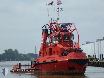
GRETTIR STERKI
Tug
Current Trip
Current Position
| Longitude | --- |
|---|---|
| Latitude | --- |
| Status | Moored |
| Speed | |
| Course | --- |
| Area | Sea of Marmara |
| Station | T-AIS |
| Position Received | 2 m ago |
Info
Information
The current position of GRETTIR STERKI is in Sea of Marmara with coordinates 40.72513° / 29.48959° as reported on 2025-03-17 22:11 by AIS to our vessel tracker app. The vessel's current speed is 0 Knots and is currently inside the port of YALOVA.
The vessel GRETTIR STERKI (IMO: 9171993, MMSI: 231888000) is a Tug It's sailing under the flag of [FO] Faroe Is.
In this page you can find informations about the vessels current position, last detected port calls, and current voyage information. If the vessels is not in coverage by AIS you will find the latest position.
The current position of GRETTIR STERKI is detected by our AIS receivers and we are not responsible for the reliability of the data. The last position was recorded while the vessel was in Coverage by the Ais receivers of our vessel tracking app.
The current draught of GRETTIR STERKI as reported by AIS is 4 meters
Weather
| Temperature | 10.9°C / 51.62°F |
|---|---|
| Wind Speed | 1 knots |
| Direction | 92° E |
| Pressure | 1010 hPa |
| Humidity | 82.8 % |
| Cloud Coverage | 78 % |
Featured Company
Most Visited Ports (Last year)
| Port | Arrivals | |
|---|---|---|
| 8 | ||
| 5 | ||
| 2 | ||
| 2 | ||
| 2 | ||
| 1 |
Events
| Time | Event | Details | Position / Dest | Info |
|---|---|---|---|---|
| 2025-03-12 14:54 | Status Changed | Moored Under way using engine |
40.72513 / 29.48956
[TR] YALOVA
|
Speed: Course: 511° |
| 2025-03-12 11:29 | STOP Moving |
40.72738 / 29.48861
[TR] YALOVA
|
Speed: 0.3 kn Course: 511° |
|
| 2025-03-12 11:26 | PORT ARRIVAL |
|
40.72994 / 29.49011
[TR] YALOVA
|
Speed: 5.8 kn Course: 219.2° |
| 2025-03-12 11:14 | PORT DEPARTURE |
|
40.73638 / 29.49566
YALOVA
|
Speed: 7.5 kn Course: 29.3° |
| 2025-03-12 11:10 | START Moving |
40.73054 / 29.49183
[TR] YALOVA
|
Speed: 5 kn Course: 18.9° |
|
| 2025-03-12 11:06 | STOP Moving |
40.72834 / 29.49052
[TR] YALOVA
|
Speed: 0.2 kn Course: 511° |
|
| 2025-03-12 11:02 | PORT ARRIVAL |
|
40.72930 / 29.48717
[TR] YALOVA
|
Speed: 9.1 kn Course: 114.3° |
| 2025-03-12 09:00 | PORT DEPARTURE |
|
40.85192 / 29.25573
YALOVA
|
Speed: 8.7 kn Course: 267.4° |
| 2025-03-12 08:49 | START Moving |
40.85186 / 29.28215
[TR] TUZLA
|
Speed: 4.5 kn Course: 273.4° |
|
| 2025-03-12 08:44 | Status Changed | Under way using engine Moored |
40.85191 / 29.28607
[TR] TUZLA
|
Speed: Course: 511° |