
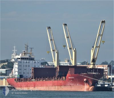
BBC RHONETAL
General Cargo
Current Trip
| Time Travelled | 7 h, 50 mins |
|---|---|
| Remaining Time | 12 h, 46 mins |
| Distance Travelled | 98.85 nm |
| Remaining Distance | 222.10 nm |
| AVG Speed | 12.1 Knots |
| MAX Speed | 17.6 Knots |
| AVG Wind | 5.2 knots |
| MAX Wind | 7 knots |
| MIN Temp | 8.3°C / 46.94°F |
| MAX Temp | 11.6°C / 52.88°F |
| Draught | 6.9 m |
| Position Received | 54 m ago |
Current Position
| Longitude | 7.74180° |
|---|---|
| Latitude | 54.02677° |
| Status | Under way using engine |
| Speed | 15.9 Knots |
| Course | 271.3° |
| Area | North Sea |
| Station | T-AIS |
| Position Received | 54 m ago |
Info
Information
The current position of BBC RHONETAL is in North Sea with coordinates 54.02677° / 7.74180° as reported on 2024-05-07 03:43 by AIS to our vessel tracker app. The vessel's current speed is 15.9 Knots and is heading at the port of ROTTERDAM. The estimated time of arrival as calculated by MyShipTracking vessel tracking app is 2024-05-07 17:24 LT
The vessel BBC RHONETAL (IMO: 9614701, MMSI: 305030000) is a General Cargo that was built in 2013 ( 11 years old ). It's sailing under the flag of [AG] Antigua Barbuda.
In this page you can find informations about the vessels current position, last detected port calls, and current voyage information. If the vessels is not in coverage by AIS you will find the latest position.
The current position of BBC RHONETAL is detected by our AIS receivers and we are not responsible for the reliability of the data. The last position was recorded while the vessel was in Coverage by the Ais receivers of our vessel tracking app.
The current draught of BBC RHONETAL as reported by AIS is 6.9 meters
Weather
| Temperature | 11.4°C / 52.52°F |
|---|---|
| Wind Speed | 5 knots |
| Direction | 27° NNE |
| Pressure | 1015.6 hPa |
| Humidity | 89.4 % |
| Cloud Coverage | 100 % |
Featured Company
Most Visited Ports (Last year)
| Port | Arrivals | |
|---|---|---|
| 2 | ||
| 2 | ||
| 1 | ||
| 1 | ||
| 1 | ||
| 1 |
Events
| Time | Event | Details | Position / Dest | Info |
|---|---|---|---|---|
| 2024-05-07 03:48 | Status Changed | Default Under way using engine |
54.02618 / 7.70809
NLRTM
|
Speed: 15.9 kn Course: 271.3° |
| 2024-05-07 03:23 | Status Changed | Under way using engine Default |
54.01984 / 7.89217
NLRTM
|
Speed: 16 kn Course: 271° |
| 2024-05-07 02:36 | Status Changed | Default Under way using engine |
54.00458 / 8.23452
NLRTM
|
Speed: 16.5 kn Course: 280.9° |
| 2024-05-07 02:29 | Status Changed | Under way using engine Default |
54.00057 / 8.28187
NLRTM
|
Speed: 16.6 kn Course: 281° |
| 2024-05-07 02:29 | Status Changed | Default Under way using engine |
53.99980 / 8.28878
NLRTM
|
Speed: 16.6 kn Course: 280.9° |
| 2024-05-06 20:48 | PORT DEPARTURE |
|
53.54548 / 9.85623
NLRTM
|
Speed: 6.9 kn Course: 285° |
| 2024-05-06 20:12 | START Moving |
53.53788 / 9.99034
[DE] HAMBURG
|
Speed: 3.1 kn Course: 294° |
|
| 2024-05-06 20:06 | Status Changed | Under way using engine Moored |
53.53576 / 9.98911
[DE] HAMBURG
|
Speed: 0.5 kn Course: 183° |
| 2024-05-06 19:30 | Draught Changed | 6.9 6.5 |
53.53518 / 9.98871
[DE] HAMBURG
|
Speed: Course: 182° |
| 2024-05-06 18:32 | Draught Changed | 6.5 6 |
53.53515 / 9.98873
[DE] HAMBURG
|
Speed: Course: 182° |