
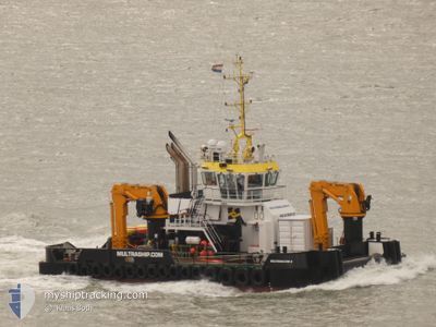
MULTRASALVOR 6
Tug
Current Trip
FEHMARN PROJECT
| Time Travelled | 153 days |
|---|---|
| Remaining Time | --- |
| Distance Travelled | 176.12 nm |
| Remaining Distance | --- |
| AVG Speed | 6 Knop |
| MAX Speed | 10.2 Knop |
| AVG Wind | 11.6 knots |
| MAX Wind | 21.8 knots |
| MIN Temp | 13.6°C / 56.48°F |
| MAX Temp | 23.8°C / 74.84°F |
| Djupgående | 3.8 m |
| Position mottagen | 1 m sen |
Current Position
| Longitud | --- |
|---|---|
| Latitude | --- |
| Status | Under way using engine |
| Fart | |
| Kurs | 331° |
| Område | Baltic Sea |
| Station | T-AIS |
| Position mottagen | 1 m sen |
Info
Information
The current position of MULTRASALVOR 6 is in Baltic Sea with coordinates 54.63748° / 11.37424° as reported on 2024-10-03 21:52 by AIS to our vessel tracker app. The vessel's current speed is 0 Knop
The vessel MULTRASALVOR 6 (IMO: 9766413, MMSI: 244475000) is a Tug It's sailing under the flag of [NL] Netherlands.
In this page you can find informations about the vessels current position, last detected port calls, and current voyage information. If the vessels is not in coverage by AIS you will find the latest position.
The current position of MULTRASALVOR 6 is detected by our AIS receivers and we are not responsible for the reliability of the data. The last position was recorded while the vessel was in Coverage by the Ais receivers of our vessel tracking app.
The current draught of MULTRASALVOR 6 as reported by AIS is 3.8 meters
Weather
| Temperature | 10.1°C / 50.18°F |
|---|---|
| Wind Speed | 9 knots |
| Direction | 26° NNE |
| Pressure | 1020.8 hPa |
| Humidity | 73.8 % |
| Cloud Coverage | 2 % |
Featured Company
Last Port Calls
Most Visited Ports (Last year)
| Port | Arrivals | |
|---|---|---|
| 301 | ||
| 8 | ||
| 2 | ||
| 2 | ||
| 2 | ||
| 2 |
Last Trips
| Origin | Departure | Destination | Arrival | Distance |
|---|
Events
| Tid | Event | Detaljer | Position / Dest | Information |
|---|---|---|---|---|
| 2024-10-03 17:24 | STOPPAR förflyttning | 1.28 nm, South East of RODBYHAVN |
54.63749 / 11.37424
FEHMARN PROJECT
|
Fart: 0.1 kn Kurs: 330° |
| 2024-10-03 17:12 | STARTAR förflyttning | 0.77 nm, South East of RODBYHAVN |
54.64201 / 11.36076
FEHMARN PROJECT
|
Fart: 3.4 kn Kurs: 165° |
| 2024-10-03 14:59 | STOPPAR förflyttning | 0.83 nm, South of RODBYHAVN |
54.64008 / 11.35782
FEHMARN PROJECT
|
Fart: 0.3 kn Kurs: 38° |
| 2024-10-03 14:52 | STARTAR förflyttning | 1.12 nm, South of RODBYHAVN |
54.63497 / 11.35848
FEHMARN PROJECT
|
Fart: 6.1 kn Kurs: 357.2° |
| 2024-10-03 14:49 | STOPPAR förflyttning | 1.22 nm, South of RODBYHAVN |
54.63311 / 11.35709
FEHMARN PROJECT
|
Fart: 0.3 kn Kurs: 133° |
| 2024-10-03 14:46 | STARTAR förflyttning | 1.03 nm, South of RODBYHAVN |
54.63634 / 11.35734
FEHMARN PROJECT
|
Fart: 6.3 kn Kurs: 209.5° |
| 2024-10-03 14:43 | STOPPAR förflyttning | 0.93 nm, South of RODBYHAVN |
54.63833 / 11.35830
FEHMARN PROJECT
|
Fart: 0.1 kn Kurs: 31° |
| 2024-10-03 14:29 | STARTAR förflyttning | 1.54 nm, South East of RODBYHAVN |
54.63512 / 11.38091
FEHMARN PROJECT
|
Fart: 3.3 kn Kurs: 254° |
| 2024-10-03 14:24 | STOPPAR förflyttning | 1.59 nm, South East of RODBYHAVN |
54.63589 / 11.38402
FEHMARN PROJECT
|
Fart: 0.3 kn Kurs: 1° |
| 2024-10-03 14:22 | STARTAR förflyttning | 1.56 nm, South East of RODBYHAVN |
54.63618 / 11.38342
FEHMARN PROJECT
|
Fart: 3.9 kn Kurs: 163° |