

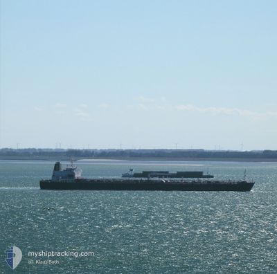
MEZAIRA'A
Oil Products Tanker

Current Trip
| Time Travelled | 25 days |
|---|---|
| Remaining Time | --- |
| Distance Travelled | 8055.30 nm |
| Remaining Distance | --- |
| AVG Speed | 13 Noeuds |
| MAX Speed | 17.4 Noeuds |
| AVG Wind | 13.8 knots |
| MAX Wind | 34 knots |
| MIN Temp | 17.5°C / 63.5°F |
| MAX Temp | 29.6°C / 85.28°F |
| Tirant d eau | 12 m |
| Position reçue | 7 d depuis |
Current Position
| Longitude | --- |
|---|---|
| Latitude | --- |
| Etat | Under way using engine |
| Vitesse | 12.9 Noeuds |
| Parcours | 308.4° |
| Zone | South Atlantic Ocean |
| Station | T-AIS |
| Position reçue | 7 d depuis |
Information
The current position of MEZAIRA'A is in South Atlantic Ocean with coordinates -23.04668° / 2.79981° as reported on 2025-03-20 16:09 by AIS to our vessel tracker app. The vessel's current speed is 12.9 Noeuds and is heading at the port of NEW YORK. The estimated time of arrival as calculated by MyShipTracking vessel tracking app is 2025-04-09 17:00 LT
The vessel MEZAIRA'A (IMO: 9487275, MMSI: 636014947) is a Oil Products Tanker that was built in 2011 ( 14 Age ). It's sailing under the flag of [LR] Liberia.
In this page you can find informations about the vessels current position, last detected port calls, and current voyage information. If the vessels is not in coverage by AIS you will find the latest position.
The current position of MEZAIRA'A is detected by our AIS receivers and we are not responsible for the reliability of the data. The last position was recorded while the vessel was in Coverage by the Ais receivers of our vessel tracking app.
The current draught of MEZAIRA'A as reported by AIS is 12 meters
Weather
| Temperature | 27.3°C / 81.14°F |
|---|---|
| Wind Speed | 4 knots |
| Direction | 49° NE |
| Pressure | 1009.7 hPa |
| Humidity | 75.2 % |
| Cloud Coverage | 91 % |


Featured Company
Most Visited Ports (Last year)
| Port | Arrivals | |
|---|---|---|
| 2 | ||
| 1 | ||
| 1 | ||
| 1 | ||
| 1 | ||
| 1 |
Events
| Heure | Evenement | Détails | Position/ Destination | Info |
|---|---|---|---|---|
| 2025-03-20 16:15 | Etat Changé | Default Under way using engine |
-23.03444 / 2.78305
US NYC
|
Vitesse: 12.9 kn Parcours: 308.4° |
| 2025-03-20 16:09 | Hors de la zone couverte |
-23.04668 / 2.79981
South Atlantic Ocean
US NYC
|
Vitesse: 12.9 kn Parcours: 308.4° |
|
| 2025-03-20 14:01 | Etat Changé | Under way using engine Default |
-23.33731 / 3.18493
US NYC
|
Vitesse: 12.8 kn Parcours: 309° |
| 2025-03-20 13:20 | Etat Changé | Default Under way using engine |
-23.42724 / 3.30659
US NYC
|
Vitesse: 12.6 kn Parcours: 308.5° |
| 2025-03-20 12:46 | Etat Changé | Under way using engine Default |
-23.50211 / 3.40856
US NYC
|
Vitesse: 12.7 kn Parcours: 308° |
| 2025-03-20 12:44 | Etat Changé | Default Under way using engine |
-23.50723 / 3.41551
US NYC
|
Vitesse: 12.7 kn Parcours: 309.2° |
| 2025-03-20 12:19 | Etat Changé | Under way using engine Default |
-23.56261 / 3.48993
US NYC
|
Vitesse: 12.8 kn Parcours: 308° |
| 2025-03-20 12:00 | Etat Changé | Default Under way using engine |
-23.60382 / 3.54735
US NYC
|
Vitesse: 12.8 kn Parcours: 307.6° |
| 2025-03-20 11:59 | Etat Changé | Under way using engine Default |
-23.60707 / 3.55194
US NYC
|
Vitesse: 12.8 kn Parcours: 308° |
| 2025-03-20 11:47 | Etat Changé | Default Under way using engine |
-23.63164 / 3.58660
US NYC
|
Vitesse: 12.8 kn Parcours: 307.6° |