
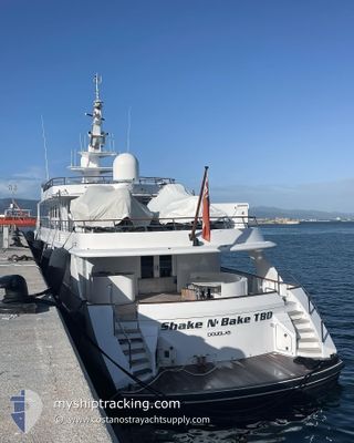
SHAKE N BAKE TBD
Yacht
Current Trip
| Time Travelled | 12 days |
|---|---|
| Remaining Time | --- |
| Distance Travelled | 966.44 nm |
| Remaining Distance | --- |
| AVG Speed | 11.5 Knots |
| MAX Speed | 13.3 Knots |
| AVG Wind | 14.1 knots |
| MAX Wind | 20.8 knots |
| MIN Temp | 13.8°C / 56.84°F |
| MAX Temp | 16.8°C / 62.24°F |
| Draught | 3.5 m |
| Position Received | 8 d ago |
Current Position
| Longitude | 14.41580° |
|---|---|
| Latitude | 36.00376° |
| Status | Under way using engine |
| Speed | 10.8 Knots |
| Course | 135.8° |
| Area | Mediterranean Sea - Eastern Basin |
| Station | T-AIS |
| Position Received | 8 d ago |
Info
Information
The current position of SHAKE N BAKE TBD is in Mediterranean Sea - Eastern Basin with coordinates 36.00376° / 14.41580° as reported on 2024-05-01 18:08 by AIS to our vessel tracker app. The vessel's current speed is 10.8 Knots
The vessel SHAKE N BAKE TBD (IMO: 1003865, MMSI: 235079444) is a Yacht that was built in 1981 ( 43 years old ). It's sailing under the flag of [GB] United Kingdom.
In this page you can find informations about the vessels current position, last detected port calls, and current voyage information. If the vessels is not in coverage by AIS you will find the latest position.
The current position of SHAKE N BAKE TBD is detected by our AIS receivers and we are not responsible for the reliability of the data. The last position was recorded while the vessel was in Coverage by the Ais receivers of our vessel tracking app.
The current draught of SHAKE N BAKE TBD as reported by AIS is 3.5 meters
Weather
| Temperature | 16.7°C / 62.06°F |
|---|---|
| Wind Speed | 12 knots |
| Direction | 313° NW |
| Pressure | 1013.1 hPa |
| Humidity | 94.7 % |
| Cloud Coverage | 16 % |
Featured Company
Last Port Calls
| Port | Arrival | Departure | Time In Port |
|---|---|---|---|
| 2024-04-27 11:42 | 2024-04-28 01:17 | 13 h | |
| 2024-03-13 14:39 |
Last Trips
| Origin | Departure | Destination | Arrival | Distance | |
|---|---|---|---|---|---|
| 2024-03-13 10:39 | 2024-04-27 13:42 | 4802.80 nm |
Events
| Time | Event | Details | Position / Dest | Info |
|---|---|---|---|---|
| 2024-05-01 18:08 | OUT of Coverage |
36.00376 / 14.41580
Mediterranean Sea - Eastern Basin
VALLETTA
|
Speed: 10.8 kn Course: 135.8° |
|
| 2024-05-01 16:11 | Change Sea Area | Maltese part of the Mediterranean Sea - Eastern Basin Algerian part of the Mediterranean Sea - Western Basin |
36.19333 / 14.02405
Mediterranean Sea - Eastern Basin
VALLETTA
|
Speed: 11.3 kn Course: 117.7° |
| 2024-05-01 16:11 | IN Coverage |
36.19333 / 14.02405
Mediterranean Sea - Eastern Basin
VALLETTA
|
Speed: 11.3 kn Course: 117.7° |