

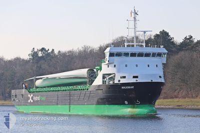
MAXIMAR
Cargo

Current Trip
| Time Travelled | 10 days |
|---|---|
| Remaining Time | 2 days |
| Distance Travelled | 636.82 nm |
| Remaining Distance | 604.37 nm |
| AVG Speed | 7.5 Knots |
| MAX Speed | 12.5 Knots |
| AVG Wind | 18.8 knots |
| MAX Wind | 28.8 knots |
| MIN Temp | -0.1°C / 31.82°F |
| MAX Temp | 3.3°C / 37.94°F |
| Draught | 5.9 m |
| Position Received | 1 m ago |
Current Position
| Longitude | --- |
|---|---|
| Latitude | --- |
| Status | Under way using engine |
| Speed | 10.7 Knots |
| Course | 254.7° |
| Area | Gulf of Bothnia |
| Station | T-AIS |
| Position Received | 1 m ago |
Information
The current position of MAXIMAR is in Gulf of Bothnia with coordinates 60.52660° / 19.14400° as reported on 2025-03-26 01:30 by AIS to our vessel tracker app. The vessel's current speed is 10.7 Knots and is heading at the port of RANDERS. The estimated time of arrival as calculated by MyShipTracking vessel tracking app is 2025-03-28 10:12 LT
The vessel MAXIMAR (IMO: 9951862, MMSI: 210674000) is a Cargo It's sailing under the flag of [CY] Cyprus.
In this page you can find informations about the vessels current position, last detected port calls, and current voyage information. If the vessels is not in coverage by AIS you will find the latest position.
The current position of MAXIMAR is detected by our AIS receivers and we are not responsible for the reliability of the data. The last position was recorded while the vessel was in Coverage by the Ais receivers of our vessel tracking app.
The current draught of MAXIMAR as reported by AIS is 5.9 meters
Weather
| Temperature | 3.2°C / 37.76°F |
|---|---|
| Wind Speed | 4 knots |
| Direction | 326° NW |
| Pressure | 1009.4 hPa |
| Humidity | 79.9 % |
| Cloud Coverage | 100 % |


Featured Company
Events
| Time | Event | Details | Position / Dest | Info |
|---|---|---|---|---|
| 2025-03-26 01:22 | Change Sea Area | Swedish part of the Gulf of Bothnia Finnish part of the Gulf of Bothnia |
60.53273 / 19.19024
Gulf of Bothnia
DKRAN
|
Speed: 10.7 kn Course: 255° |
| 2025-03-25 21:07 | Status Changed | Under way using engine Moored |
60.69940 / 20.71486
DKRAN
|
Speed: 10.6 kn Course: 269.9° |
| 2025-03-25 19:20 | Draught Changed | 5.9 6.1 |
60.79461 / 21.28347
DKRAN
|
Speed: 10.5 kn Course: 280° |
| 2025-03-25 19:20 | Destination Changed | DKRAN FITOR |
60.79461 / 21.28347
DKRAN
|
Speed: 10.5 kn Course: 280° |
| 2025-03-25 19:20 | ETA Changed | 2025/03/28 15:00 2025/03/17 20:00 |
60.79461 / 21.28347
DKRAN
|
Speed: 10.5 kn Course: 280° |
| 2025-03-25 19:07 | START Moving | 1.59 nm, West of UUSIKAUPUNKI |
60.79215 / 21.33300
FITOR
|
Speed: 6.4 kn Course: 225° |
| 2025-03-25 18:57 | IN Coverage |
60.79543 / 21.34196
Gulf of Bothnia
|
Speed: Course: 331.7° |
|
| 2025-03-25 17:48 | OUT of Coverage |
60.79541 / 21.34204
Gulf of Bothnia
|
Speed: Course: 79.3° |
|
| 2025-03-25 17:48 | IN Coverage |
60.79541 / 21.34204
Gulf of Bothnia
|
Speed: Course: 79.3° |
|
| 2025-03-24 19:11 | OUT of Coverage |
60.71243 / 20.97411
Gulf of Bothnia
|
Speed: 11.8 kn Course: 125.6° |