
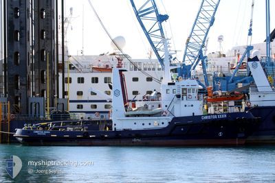
CHRISTOS XXXIV
Tug
Current Trip
| Time Travelled | --- |
|---|---|
| Remaining Time | --- |
| Distance Travelled | 1261.20 nm |
| Remaining Distance | --- |
| AVG Speed | 5 Knots |
| MAX Speed | 11.5 Knots |
| AVG Wind | 10.6 knots |
| MAX Wind | 29.8 knots |
| MIN Temp | -1.5°C / 29.3°F |
| MAX Temp | 16.7°C / 62.06°F |
| Draught | 5 m |
| Position Received | 4 d ago |
Current Position
| Longitude | --- |
|---|---|
| Latitude | --- |
| Status | Restricted manoeuverability |
| Speed | 7.3 Knots |
| Course | 8.9° |
| Area | Black Sea |
| Station | T-AIS |
| Position Received | 4 d ago |
Info
Information
The current position of CHRISTOS XXXIV is in Black Sea with coordinates 41.34312° / 29.22911° as reported on 2025-02-14 14:42 by AIS to our vessel tracker app. The vessel's current speed is 7.3 Knots and is heading at the port of BRAILA. The estimated time of arrival as calculated by MyShipTracking vessel tracking app is 2025-02-16 04:00 LT
The vessel CHRISTOS XXXIV (IMO: 7907415, MMSI: 376717000) is a Tug It's sailing under the flag of [VC] St Vincent Grenadines.
In this page you can find informations about the vessels current position, last detected port calls, and current voyage information. If the vessels is not in coverage by AIS you will find the latest position.
The current position of CHRISTOS XXXIV is detected by our AIS receivers and we are not responsible for the reliability of the data. The last position was recorded while the vessel was in Coverage by the Ais receivers of our vessel tracking app.
The current draught of CHRISTOS XXXIV as reported by AIS is 5 meters
Weather
| Temperature | -1.4°C / 29.48°F |
|---|---|
| Wind Speed | 7 knots |
| Direction | 44° NE |
| Pressure | 1025.4 hPa |
| Humidity | 47.4 % |
| Cloud Coverage | 100 % |
Featured Company
Events
| Time | Event | Details | Position / Dest | Info |
|---|---|---|---|---|
| 2025-02-16 07:25 | START Moving | 1.12 nm, East of SULINA |
45.15951 / 29.67405
ROBRA
|
Speed: 6.5 kn Course: 249° |
| 2025-02-16 06:15 | STOP Moving | 2.43 nm, East of SULINA |
45.16568 / 29.70389
ROBRA
|
Speed: Course: -1° |
| 2025-02-14 14:44 | Status Changed | Default Restricted manoeuverability |
41.34715 / 29.22978
ROBRA
|
Speed: 7.3 kn Course: 8.9° |
| 2025-02-14 14:42 | OUT of Coverage |
41.34312 / 29.22911
Black Sea
ROBRA
|
Speed: 7.3 kn Course: 8.9° |
|
| 2025-02-14 13:40 | Change Sea Area | Turkish part of the Black Sea Turkish part of the Sea of Marmara |
41.23003 / 29.14532
Black Sea
ROBRA
|
Speed: 7.3 kn Course: 39.8° |
| 2025-02-14 10:19 | ETA Changed | 2025/02/16 04:00 2025/02/12 06:00 |
40.94567 / 28.99877
ROBRA
|
Speed: 4.4 kn Course: 3.8° |
| 2025-02-09 23:35 | Status Changed | Restricted manoeuverability Default |
40.71539 / 29.10192
ROBRA
|
Speed: 3.2 kn Course: -1° |
| 2025-02-09 23:33 | Status Changed | Default Restricted manoeuverability |
40.71657 / 29.10078
ROBRA
|
Speed: 3.1 kn Course: 154.5° |
| 2025-02-09 09:51 | START Moving | 7.99 nm, South West of KARTAL |
40.76797 / 29.11234
ROBRA
|
Speed: 3.1 kn Course: 278.6° |
| 2025-02-09 09:46 | STOP Moving | 7.92 nm, South West of TUZLA |
40.76714 / 29.11568
ROBRA
|
Speed: 0.3 kn Course: 511° |