
BIGROLL BISCAY
Cargo
Current Trip
| Time Travelled | 15 days |
|---|---|
| Remaining Time | --- |
| Distance Travelled | 3766.45 nm |
| Remaining Distance | --- |
| AVG Speed | 9.9 Knots |
| MAX Speed | 12.7 Knots |
| AVG Wind | 11.2 knots |
| MAX Wind | 32 knots |
| MIN Temp | 22.1°C / 71.78°F |
| MAX Temp | 29.4°C / 84.92°F |
| Draught | 4.6 m |
| Position Received | 6 m ago |
Current Position
| Longitude | --- |
|---|---|
| Latitude | --- |
| Status | Under way using engine |
| Speed | 11.5 Knots |
| Course | 225.4° |
| Area | Indian Ocean |
| Station | T-AIS |
| Position Received | 6 m ago |
Information
The current position of BIGROLL BISCAY is in Indian Ocean with coordinates -30.74774° / 30.82226° as reported on 2025-02-13 02:57 by AIS to our vessel tracker app. The vessel's current speed is 11.5 Knots and is heading at the port of ANTWERP. The estimated time of arrival as calculated by MyShipTracking vessel tracking app is 2025-03-14 18:00 LT
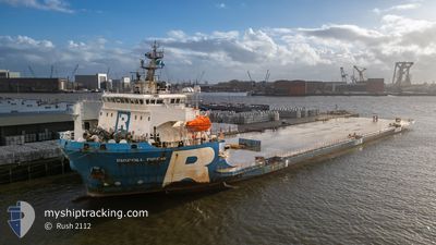
The vessel BIGROLL BISCAY (IMO: 9776286, MMSI: 244750814) is a Cargo It's sailing under the flag of [NL] Netherlands.
In this page you can find informations about the vessels current position, last detected port calls, and current voyage information. If the vessels is not in coverage by AIS you will find the latest position.
The current position of BIGROLL BISCAY is detected by our AIS receivers and we are not responsible for the reliability of the data. The last position was recorded while the vessel was in Coverage by the Ais receivers of our vessel tracking app.
The current draught of BIGROLL BISCAY as reported by AIS is 4.6 meters
Weather
| Temperature | 25.6°C / 78.08°F |
|---|---|
| Wind Speed | 19 knots |
| Direction | 16° NNE |
| Pressure | 1005.4 hPa |
| Humidity | 82.3 % |
| Cloud Coverage | 4 % |
Featured Company
Events
| Time | Event | Details | Position / Dest | Info |
|---|---|---|---|---|
| 2025-02-13 02:57 | Status Changed | Under way using engine Default |
-30.74774 / 30.82226
BEANR
|
Speed: 11.3 kn Course: 222° |
| 2025-02-13 02:47 | Status Changed | Default Under way using engine |
-30.72597 / 30.84593
BEANR
|
Speed: 11.4 kn Course: 221° |
| 2025-02-13 02:43 | Status Changed | Under way using engine Default |
-30.71539 / 30.85756
BEANR
|
Speed: 10.9 kn Course: 225° |
| 2025-02-13 02:38 | Status Changed | Default Under way using engine |
-30.70448 / 30.86975
BEANR
|
Speed: 10.9 kn Course: 220.8° |
| 2025-02-13 02:33 | Status Changed | Under way using engine Default |
-30.69438 / 30.88093
BEANR
|
Speed: 11.4 kn Course: 224° |
| 2025-02-13 02:30 | Status Changed | Default Under way using engine |
-30.68661 / 30.88970
BEANR
|
Speed: 11 kn Course: 219.9° |
| 2025-02-13 02:24 | Status Changed | Under way using engine Default |
-30.67286 / 30.90415
BEANR
|
Speed: 11.4 kn Course: 220° |
| 2025-02-13 02:19 | Status Changed | Default Under way using engine |
-30.66141 / 30.91493
BEANR
|
Speed: 11.5 kn Course: 219.7° |
| 2025-02-13 01:54 | Status Changed | Under way using engine Default |
-30.59939 / 30.97358
BEANR
|
Speed: 11.4 kn Course: 220° |
| 2025-02-13 01:39 | Status Changed | Default Under way using engine |
-30.56450 / 31.00718
BEANR
|
Speed: 11 kn Course: 214.6° |