

ATRIA
Tanker

Current Trip
| Time Travelled | 8 days |
|---|---|
| Remaining Time | --- |
| Distance Travelled | 1393.59 nm |
| Remaining Distance | --- |
| AVG Speed | 8.5 Knots |
| MAX Speed | 11.9 Knots |
| AVG Wind | 11.1 knots |
| MAX Wind | 27 knots |
| MIN Temp | 2.3°C / 36.14°F |
| MAX Temp | 18.1°C / 64.58°F |
| Draught | 6.4 m |
| Position Received | 5 m ago |
Current Position
| Longitude | --- |
|---|---|
| Latitude | --- |
| Status | Under way using engine |
| Speed | 8.6 Knots |
| Course | 350.4° |
| Area | Aegean Sea |
| Station | T-AIS |
| Position Received | 5 m ago |
Information
The current position of ATRIA is in Aegean Sea with coordinates 38.36288° / 25.73798° as reported on 2025-03-29 00:12 by AIS to our vessel tracker app. The vessel's current speed is 8.6 Knots and is heading at the port of BURGAS. The estimated time of arrival as calculated by MyShipTracking vessel tracking app is 2025-03-31 10:00 LT
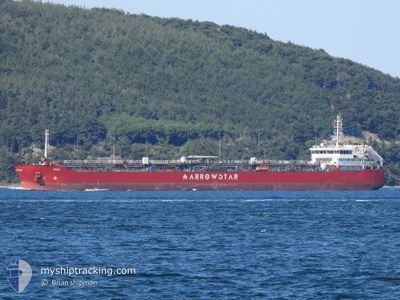
The vessel ATRIA (IMO: 9492842, MMSI: 636023432) is a Tanker It's sailing under the flag of [LR] Liberia.
In this page you can find informations about the vessels current position, last detected port calls, and current voyage information. If the vessels is not in coverage by AIS you will find the latest position.
The current position of ATRIA is detected by our AIS receivers and we are not responsible for the reliability of the data. The last position was recorded while the vessel was in Coverage by the Ais receivers of our vessel tracking app.
The current draught of ATRIA as reported by AIS is 6.4 meters
Weather
| Temperature | 15.1°C / 59.18°F |
|---|---|
| Wind Speed | 12 knots |
| Direction | 171° S |
| Pressure | 1003.7 hPa |
| Humidity | 84.3 % |
| Cloud Coverage | 2 % |


Featured Company
Most Visited Ports (Last year)
| Port | Arrivals | |
|---|---|---|
| 12 | ||
| 3 | ||
| 2 | ||
| 2 | ||
| 1 | ||
| 1 |
Events
| Time | Event | Details | Position / Dest | Info |
|---|---|---|---|---|
| 2025-03-28 23:48 | Status Changed | Under way using engine Default |
38.30770 / 25.74968
BGBOJ
|
Speed: 8.9 kn Course: 350° |
| 2025-03-28 23:48 | IN Coverage |
38.30892 / 25.74943
Aegean Sea
BGBOJ
|
Speed: 8.5 kn Course: 350.7° |
|
| 2025-03-28 21:26 | Status Changed | Default Under way using engine |
37.96725 / 25.81469
BGBOJ
|
Speed: 8.4 kn Course: 350.5° |
| 2025-03-28 21:24 | Status Changed | Under way using engine Default |
37.96382 / 25.81543
BGBOJ
|
Speed: 8.3 kn Course: 350° |
| 2025-03-28 21:24 | OUT of Coverage |
37.96382 / 25.81543
Aegean Sea
BGBOJ
|
Speed: 8.4 kn Course: 350.5° |
|
| 2025-03-28 20:57 | Status Changed | Default Under way using engine |
37.90202 / 25.82918
BGBOJ
|
Speed: 8.1 kn Course: 350.1° |
| 2025-03-28 20:36 | Status Changed | Under way using engine Default |
37.85426 / 25.83985
BGBOJ
|
Speed: 7.9 kn Course: 346° |
| 2025-03-28 20:36 | IN Coverage |
37.85645 / 25.83932
Aegean Sea
BGBOJ
|
Speed: 8 kn Course: 349.5° |
|
| 2025-03-28 19:40 | Status Changed | Default Under way using engine |
37.73340 / 25.87533
BGBOJ
|
Speed: 8.1 kn Course: 357.9° |
| 2025-03-28 19:21 | OUT of Coverage |
37.69020 / 25.88446
Aegean Sea
BGBOJ
|
Speed: 8.1 kn Course: 357.9° |