
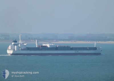
ATLANTIC ORCHARD
Cargo
Current Trip
| Time Travelled | 2 days |
|---|---|
| Remaining Time | 15 days |
| Distance Travelled | 375.24 nm |
| Remaining Distance | 4795.77 nm |
| AVG Speed | 12.7 Knots |
| MAX Speed | 15.4 Knots |
| AVG Wind | 15.8 knots |
| MAX Wind | 23.9 knots |
| MIN Temp | 6.3°C / 43.34°F |
| MAX Temp | 14.5°C / 58.1°F |
| Draught | 7.3 m |
| Position Received | 1 d ago |
Current Position
| Longitude | --- |
|---|---|
| Latitude | --- |
| Status | Under way using engine |
| Speed | 10 Knots |
| Course | 254.5° |
| Area | English Channel |
| Station | T-AIS |
| Position Received | 1 d ago |
Info
Information
The current position of ATLANTIC ORCHARD is in English Channel with coordinates 50.41186° / -0.60708° as reported on 2024-12-01 07:57 by AIS to our vessel tracker app. The vessel's current speed is 10 Knots and is heading at the port of SANTOS. The estimated time of arrival as calculated by MyShipTracking vessel tracking app is 2024-12-18 12:11 LT
The vessel ATLANTIC ORCHARD (IMO: 9638159, MMSI: 636018592) is a Cargo It's sailing under the flag of [LR] Liberia.
In this page you can find informations about the vessels current position, last detected port calls, and current voyage information. If the vessels is not in coverage by AIS you will find the latest position.
The current position of ATLANTIC ORCHARD is detected by our AIS receivers and we are not responsible for the reliability of the data. The last position was recorded while the vessel was in Coverage by the Ais receivers of our vessel tracking app.
The current draught of ATLANTIC ORCHARD as reported by AIS is 7.3 meters
Weather
| Temperature | 13.6°C / 56.48°F |
|---|---|
| Wind Speed | 6 knots |
| Direction | 270° W |
| Pressure | 1025.7 hPa |
| Humidity | 64.1 % |
| Cloud Coverage | 98 % |
Featured Company
Most Visited Ports (Last year)
| Port | Arrivals | |
|---|---|---|
| 10 | ||
| 7 | ||
| 3 | ||
| 1 | ||
| 1 | ||
| 1 |
Last Trips
| Origin | Departure | Destination | Arrival | Distance | |
|---|---|---|---|---|---|
| 2024-11-28 21:38 | 2024-11-28 22:33 | 9.07 nm | |||
| 2024-11-28 18:43 | 2024-11-28 20:15 | 8.60 nm | |||
| 2024-10-28 09:58 | 2024-11-20 03:41 | 5446.87 nm | |||
| 2024-10-07 14:01 | 2024-10-25 05:37 | 5486.58 nm | |||
| 2024-09-09 17:20 | 2024-10-04 15:36 | 5437.61 nm |
Events
| Time | Event | Details | Position / Dest | Info |
|---|---|---|---|---|
| 2024-12-01 08:03 | Status Changed | Default Under way using engine |
50.40814 / -.62905
BR SSZ
|
Speed: 10 kn Course: 254.5° |
| 2024-12-01 07:57 | OUT of Coverage |
50.41186 / -.60708
English Channel
BR SSZ
|
Speed: 10 kn Course: 254.5° |
|
| 2024-12-01 04:54 | Status Changed | Under way using engine Default |
50.56728 / .32870
BR SSZ
|
Speed: 14 kn Course: 255° |
| 2024-12-01 04:41 | IN Coverage |
50.56710 / .32761
English Channel
BR SSZ
|
Speed: 14.1 kn Course: 256.5° |
|
| 2024-12-01 03:52 | Status Changed | Default Under way using engine |
50.65242 / .68680
BR SSZ
|
Speed: 14.2 kn Course: 237° |
| 2024-12-01 03:46 | Status Changed | Under way using engine Default |
50.66675 / .72155
BR SSZ
|
Speed: 14.2 kn Course: 236° |
| 2024-12-01 03:46 | OUT of Coverage |
50.66675 / .72155
English Channel
BR SSZ
|
Speed: 14.2 kn Course: 237° |
|
| 2024-12-01 03:09 | Status Changed | Default Under way using engine |
50.74736 / .91037
BR SSZ
|
Speed: 13.5 kn Course: 235.6° |
| 2024-12-01 02:57 | Status Changed | Under way using engine Default |
50.77077 / .96695
BR SSZ
|
Speed: 13.6 kn Course: 241° |
| 2024-12-01 02:41 | Status Changed | Default Under way using engine |
50.80188 / 1.05210
BR SSZ
|
Speed: 13.3 kn Course: 237.4° |