
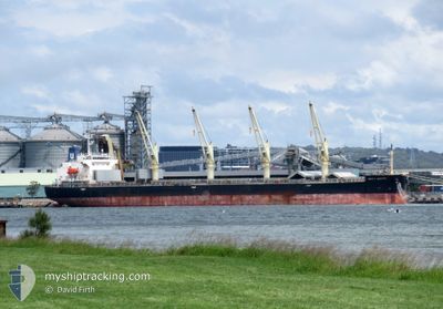
UNITY NORTH
Cargo
Current Trip
| Trip Time | 55 days |
|---|---|
| Trip Distance | 11968.84 nm |
| AVG Speed | 9.4 Knop |
| MAX Speed | 14.5 Knop |
| Djupgående | 9.8 m |
| AVG Wind | 12.3 knots |
| MAX Wind | 37 knots |
| MIN Temp | 13.5°C / 56.3°F |
| MAX Temp | 29.2°C / 84.56°F |
| Position mottagen | 10 d sen |
Current Position
| Longitud | 0.12636° |
|---|---|
| Latitude | 36.65564° |
| Status | Under way using engine |
| Fart | 11.1 Knop |
| Kurs | 83.8° |
| Område | Mediterranean Sea - Western Basin |
| Station | T-AIS |
| Position mottagen | 10 d sen |
Info
Information
The current position of UNITY NORTH is in Mediterranean Sea - Western Basin with coordinates 36.65564° / 0.12636° as reported on 2024-04-18 05:33 by AIS to our vessel tracker app. The vessel's current speed is 11.1 Knop and is currently inside the port of BEJAIA.
The vessel UNITY NORTH (IMO: 9687136, MMSI: 311001070) is a Cargo It's sailing under the flag of [BS] Bahamas.
In this page you can find informations about the vessels current position, last detected port calls, and current voyage information. If the vessels is not in coverage by AIS you will find the latest position.
The current position of UNITY NORTH is detected by our AIS receivers and we are not responsible for the reliability of the data. The last position was recorded while the vessel was in Coverage by the Ais receivers of our vessel tracking app.
The current draught of UNITY NORTH as reported by AIS is 9.8 meters
Weather
| Temperature | 19.1°C / 66.38°F |
|---|---|
| Wind Speed | 6 knots |
| Direction | 31° NNE |
| Pressure | 1011.9 hPa |
| Humidity | 61.4 % |
| Cloud Coverage | 6 % |
Featured Company
Most Visited Ports (Last year)
| Port | Arrivals | |
|---|---|---|
| 1 | ||
| 1 | ||
| 1 | ||
| 1 | ||
| 1 | ||
| 1 |
Events
| Tid | Event | Detaljer | Position / Dest | Information |
|---|---|---|---|---|
| 2024-04-22 16:26 | STOPPAR förflyttning |
36.74767 / 5.08178
[DZ] BEJAIA
|
Fart: Kurs: 52° |
|
| 2024-04-22 15:50 | ANLÄNDER HAMN |
|
36.75307 / 5.09838
[DZ] BEJAIA
|
Fart: 3.7 kn Kurs: 314° |
| 2024-04-22 13:32 | STARTAR förflyttning | 5.87 nm, East of BEJAIA |
36.71939 / 5.21002
BEJAIA
|
Fart: 3.3 kn Kurs: 330° |