

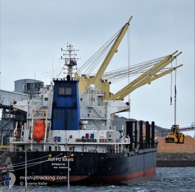
RUI FU BANG
Bulk Carrier

Current Trip
| Time Travelled | 18 days |
|---|---|
| Remaining Time | --- |
| Distance Travelled | 4772.58 nm |
| Remaining Distance | --- |
| AVG Speed | 11 Knop |
| MAX Speed | 12.9 Knop |
| AVG Wind | 9.9 knots |
| MAX Wind | 31 knots |
| MIN Temp | 13.8°C / 56.84°F |
| MAX Temp | 28.3°C / 82.94°F |
| Djupgående | 10.4 m |
| Position mottagen | 2 d sen |
Current Position
| Longitud | --- |
|---|---|
| Latitude | --- |
| Status | Under way using engine |
| Fart | 10.5 Knop |
| Kurs | 86.3° |
| Område | Bay of Bengal |
| Station | T-AIS |
| Position mottagen | 2 d sen |
Information
The current position of RUI FU BANG is in Bay of Bengal with coordinates 6.21298° / 93.20940° as reported on 2025-02-18 00:29 by AIS to our vessel tracker app. The vessel's current speed is 10.5 Knop
The vessel RUI FU BANG (IMO: 9609847, MMSI: 636021928) is a Bulk Carrier that was built in 2011 ( 14 År gammal ). It's sailing under the flag of [LR] Liberia.
In this page you can find informations about the vessels current position, last detected port calls, and current voyage information. If the vessels is not in coverage by AIS you will find the latest position.
The current position of RUI FU BANG is detected by our AIS receivers and we are not responsible for the reliability of the data. The last position was recorded while the vessel was in Coverage by the Ais receivers of our vessel tracking app.
The current draught of RUI FU BANG as reported by AIS is 10.4 meters
Weather
| Temperature | 26.5°C / 79.7°F |
|---|---|
| Wind Speed | 2 knots |
| Direction | 174° S |
| Pressure | 1011.3 hPa |
| Humidity | 78.2 % |
| Cloud Coverage | 100 % |


Featured Company
Last Port Calls
| Port | Arrival | Departure | Time In Port |
|---|---|---|---|
| 2025-01-27 14:18 | 2025-02-01 20:15 | 5 d | |
| 2025-01-11 13:04 | 2025-01-15 07:22 | 3 d | |
| 2024-12-17 20:21 | 2024-12-31 10:58 | 13 d | |
| 2024-12-08 04:27 |
Most Visited Ports (Last year)
| Port | Arrivals | |
|---|---|---|
| 7 | ||
| 2 | ||
| 2 | ||
| 1 | ||
| 1 | ||
| 1 |
Last Trips
| Origin | Departure | Destination | Arrival | Distance | |
|---|---|---|---|---|---|
| 2025-01-15 09:22 | 2025-01-27 16:18 | 701.06 nm | |||
| 2024-12-31 13:58 | 2025-01-11 15:04 | 3022.02 nm | |||
| 2024-12-08 07:27 | 2024-12-17 23:21 | 1712.19 nm |
Events
| Tid | Event | Detaljer | Position / Dest | Information |
|---|---|---|---|---|
| 2025-02-20 00:53 | STOPPAR förflyttning | 13.73 nm, South of PORT KLANG |
2.76992 / 101.32804
PORT KLANG
|
Fart: 0.3 kn Kurs: 97° |
| 2025-02-18 00:41 | Status ändrad | Default Under way using engine |
6.21487 / 93.24606
PORT KLANG
|
Fart: 10.5 kn Kurs: 86.3° |
| 2025-02-18 00:29 | UTANFÖR täckningsområde |
6.21298 / 93.20940
Bay of Bengal
PORT KLANG
|
Fart: 10.5 kn Kurs: 86.3° |
|
| 2025-02-18 00:27 | Upptäckt i hav | Indian (Andaman and Nicobar) part of the Bay of Bengal |
6.21254 / 93.20358
Bay of Bengal
PORT KLANG
|
Fart: 10.4 kn Kurs: 85.6° |
| 2025-02-18 00:27 | Status ändrad | Under way using engine Default |
6.21254 / 93.20358
PORT KLANG
|
Fart: 10.5 kn Kurs: 85° |
| 2025-02-18 00:27 | I täckningsområde |
6.21254 / 93.20358
Bay of Bengal
PORT KLANG
|
Fart: 10.4 kn Kurs: 85.6° |