
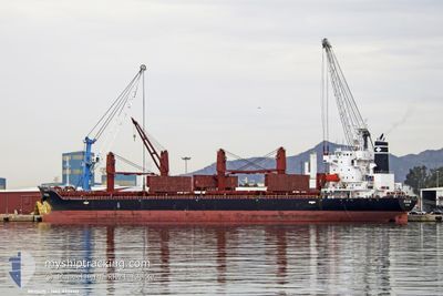
REGIUS
Cargo
Current Trip
| Time Travelled | 8 days |
|---|---|
| Remaining Time | 7 days |
| Distance Travelled | 2058.20 nm |
| Remaining Distance | 2033.10 nm |
| AVG Speed | 10.8 Knop |
| MAX Speed | 14.2 Knop |
| AVG Wind | 16 knots |
| MAX Wind | 30 knots |
| MIN Temp | 13.3°C / 55.94°F |
| MAX Temp | 17.8°C / 64.04°F |
| Djupgående | 7.5 m |
| Position mottagen | 16 h, 8 m sen |
Current Position
| Longitud | -29.24799° |
|---|---|
| Latitude | 40.85827° |
| Status | Under way using engine |
| Fart | 11.8 Knop |
| Kurs | 303.9° |
| Område | North Atlantic Ocean |
| Station | T-AIS |
| Position mottagen | 16 h, 8 m sen |
Info
Information
The current position of REGIUS is in North Atlantic Ocean with coordinates 40.85827° / -29.24799° as reported on 2024-05-05 23:30 by AIS to our vessel tracker app. The vessel's current speed is 11.8 Knop and is heading at the port of NORFOLK. The estimated time of arrival as calculated by MyShipTracking vessel tracking app is 2024-05-14 08:29 LT
The vessel REGIUS (IMO: 9737113, MMSI: 538006871) is a Cargo It's sailing under the flag of [MH] Marshall Is.
In this page you can find informations about the vessels current position, last detected port calls, and current voyage information. If the vessels is not in coverage by AIS you will find the latest position.
The current position of REGIUS is detected by our AIS receivers and we are not responsible for the reliability of the data. The last position was recorded while the vessel was in Coverage by the Ais receivers of our vessel tracking app.
The current draught of REGIUS as reported by AIS is 7.5 meters
Weather
| Temperature | 16.7°C / 62.06°F |
|---|---|
| Wind Speed | 22 knots |
| Direction | 202° SSW |
| Pressure | 996.7 hPa |
| Humidity | 86.8 % |
| Cloud Coverage | --- |
Featured Company
Most Visited Ports (Last year)
| Port | Arrivals | |
|---|---|---|
| 8 | ||
| 2 | ||
| 2 | ||
| 2 | ||
| 1 | ||
| 1 |
Events
| Tid | Event | Detaljer | Position / Dest | Information |
|---|---|---|---|---|
| 2024-05-05 23:33 | Status ändrad | Default Under way using engine |
40.86530 / -29.26176
USORF
|
Fart: 11.8 kn Kurs: 303.9° |
| 2024-05-05 23:30 | UTANFÖR täckningsområde |
40.85827 / -29.24799
North Atlantic Ocean
USORF
|
Fart: 11.8 kn Kurs: 303.9° |
|
| 2024-05-05 23:23 | Status ändrad | Under way using engine Default |
40.84562 / -29.22280
USORF
|
Fart: 11.9 kn Kurs: 301° |
| 2024-05-05 23:16 | Status ändrad | Default Under way using engine |
40.83421 / -29.19999
USORF
|
Fart: 11.8 kn Kurs: 301.9° |
| 2024-05-05 22:05 | Upptäckt i hav | Portuguese (Azores) part of the North Atlantic Ocean |
40.70789 / -28.94103
North Atlantic Ocean
USORF
|
Fart: 11.8 kn Kurs: 307.3° |
| 2024-05-05 22:05 | Status ändrad | Under way using engine Default |
40.70789 / -28.94103
USORF
|
Fart: 12 kn Kurs: 300° |
| 2024-05-05 21:54 | I täckningsområde |
40.70789 / -28.94103
North Atlantic Ocean
USORF
|
Fart: 11.8 kn Kurs: 307.3° |
|
| 2024-05-01 19:45 | Status ändrad | Default Under way using engine |
36.05167 / -6.97333
USORF
|
Fart: 11 kn Kurs: 276.9° |
| 2024-05-01 19:42 | UTANFÖR täckningsområde |
36.05077 / -6.96235
North Atlantic Ocean
USORF
|
Fart: 11 kn Kurs: 276.9° |
|
| 2024-05-01 19:35 | Byter havsområde | Spanish part of the North Atlantic Ocean Spanish part of the Strait of Gibraltar |
36.04845 / -6.93865
North Atlantic Ocean
USORF
|
Fart: 11.1 kn Kurs: 277.7° |