

LIBERTY ISLAND
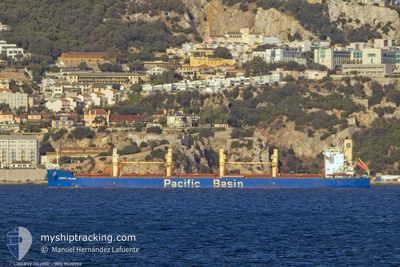
Bulk Carrier

Current Trip
GN CKY
| Time Travelled | 9 days |
|---|---|
| Remaining Time | --- |
| Distance Travelled | 111.24 nm |
| Remaining Distance | --- |
| AVG Speed | 15.3 Knop |
| MAX Speed | 17.5 Knop |
| AVG Wind | 2.3 knots |
| MAX Wind | 7 knots |
| MIN Temp | 22.3°C / 72.14°F |
| MAX Temp | 33.9°C / 93.02°F |
| Djupgående | 10 m |
| Position mottagen | 28 d sen |
Current Position
| Longitud | --- |
|---|---|
| Latitude | --- |
| Status | Under way using engine |
| Fart | 10.3 Knop |
| Kurs | 350.3° |
| Område | South Atlantic Ocean |
| Station | T-AIS |
| Position mottagen | 28 d sen |
Information
The current position of LIBERTY ISLAND is in South Atlantic Ocean with coordinates -3.57531° / -38.49665° as reported on 2025-02-07 16:06 by AIS to our vessel tracker app. The vessel's current speed is 10.3 Knop
The vessel LIBERTY ISLAND (IMO: 9520986, MMSI: 477444800) is a Bulk Carrier that was built in 2012 ( 13 År gammal ). It's sailing under the flag of [HK] Hong Kong.
In this page you can find informations about the vessels current position, last detected port calls, and current voyage information. If the vessels is not in coverage by AIS you will find the latest position.
The current position of LIBERTY ISLAND is detected by our AIS receivers and we are not responsible for the reliability of the data. The last position was recorded while the vessel was in Coverage by the Ais receivers of our vessel tracking app.
The current draught of LIBERTY ISLAND as reported by AIS is 10 meters
Weather
| Temperature | 24.5°C / 76.1°F |
|---|---|
| Wind Speed | 4 knots |
| Direction | 274° W |
| Pressure | 1014.8 hPa |
| Humidity | 94.7 % |
| Cloud Coverage | 100 % |


Featured Company
Most Visited Ports (Last year)
| Port | Arrivals | |
|---|---|---|
| 3 | ||
| 2 | ||
| 2 | ||
| 2 | ||
| 1 | ||
| 1 |
Events
| Tid | Event | Detaljer | Position / Dest | Information |
|---|---|---|---|---|
| 2025-02-27 04:35 | STOPPAR förflyttning | 3.12 nm, South East of ITACOATIARA |
-3.17835 / -58.40301
GN CKY
|
Fart: Kurs: 301° |
| 2025-02-26 20:57 | AVGÅTT HAMN |
|
-3.16863 / -59.98999
GN CKY
|
Fart: 3.2 kn Kurs: 195° |
| 2025-02-26 20:52 | STARTAR förflyttning |
-3.16231 / -59.99308
[BR] MANAUS
|
Fart: 3.2 kn Kurs: 195° |