
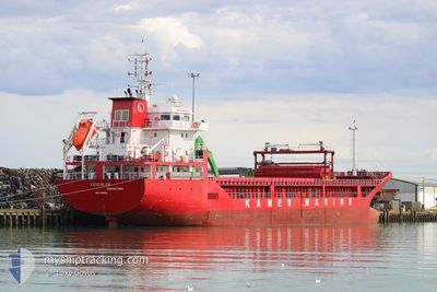
GUNERLER
General Cargo
Current Trip
| Time Travelled | 14 days |
|---|---|
| Remaining Time | --- |
| Distance Travelled | 2948.94 nm |
| Remaining Distance | --- |
| AVG Speed | 10.1 Knop |
| MAX Speed | 12.9 Knop |
| AVG Wind | 9.6 knots |
| MAX Wind | 23 knots |
| MIN Temp | 7.6°C / 45.68°F |
| MAX Temp | 19.9°C / 67.82°F |
| Djupgående | 6.6 m |
| Position mottagen | 2 m sen |
Current Position
| Longitud | --- |
|---|---|
| Latitude | --- |
| Status | At anchor |
| Fart | |
| Kurs | 139° |
| Område | Mediterranean Sea - Eastern Basin |
| Station | T-AIS |
| Position mottagen | 2 m sen |
Info
Information
The current position of GUNERLER is in Mediterranean Sea - Eastern Basin with coordinates 32.89349° / 35.00539° as reported on 2025-01-14 01:53 by AIS to our vessel tracker app. The vessel's current speed is 0 Knop
The vessel GUNERLER (IMO: 9598684, MMSI: 314686000) is a General Cargo that was built in 2011 ( 14 År gammal ). It's sailing under the flag of [BB] Barbados.
In this page you can find informations about the vessels current position, last detected port calls, and current voyage information. If the vessels is not in coverage by AIS you will find the latest position.
The current position of GUNERLER is detected by our AIS receivers and we are not responsible for the reliability of the data. The last position was recorded while the vessel was in Coverage by the Ais receivers of our vessel tracking app.
The current draught of GUNERLER as reported by AIS is 6.6 meters
Weather
| Temperature | 17.8°C / 64.04°F |
|---|---|
| Wind Speed | 4 knots |
| Direction | 98° E |
| Pressure | 1021.1 hPa |
| Humidity | 48.2 % |
| Cloud Coverage | --- |
Featured Company
Events
| Tid | Event | Detaljer | Position / Dest | Information |
|---|---|---|---|---|
| 2025-01-11 21:38 | STOPPAR förflyttning | 3.61 nm, South West of ACRE |
32.89257 / 35.00681
ILHFA
|
Fart: 0.3 kn Kurs: 323° |
| 2025-01-11 21:24 | Status ändrad | At anchor Under way using engine |
32.88937 / 35.00785
ILHFA
|
Fart: 1.7 kn Kurs: 10° |
| 2025-01-11 20:30 | ETA ändrat | 2025/01/11 21:30 2025/01/11 06:00 |
32.89454 / 34.86543
ILHFA
|
Fart: 10.3 kn Kurs: 94.9° |
| 2025-01-11 19:53 | Status ändrad | Under way using engine Default |
32.90998 / 34.74587
ILHFA
|
Fart: 10.1 kn Kurs: 98° |
| 2025-01-11 19:46 | Status ändrad | Default Under way using engine |
32.91287 / 34.72096
ILHFA
|
Fart: 10.1 kn Kurs: 97.9° |
| 2025-01-11 19:44 | Status ändrad | Under way using engine Default |
32.91367 / 34.71378
ILHFA
|
Fart: 10.1 kn Kurs: 97° |
| 2025-01-11 19:32 | Status ändrad | Default Under way using engine |
32.91758 / 34.67626
ILHFA
|
Fart: 10.2 kn Kurs: 97.9° |
| 2025-01-11 19:15 | Upptäckt i hav | Israeli part of the Mediterranean Sea - Eastern Basin |
32.92460 / 34.61883
Mediterranean Sea - Eastern Basin
|
Fart: 10.3 kn Kurs: 99° |
| 2025-01-11 19:15 | Status ändrad | Under way using engine Default |
32.92460 / 34.61883
ILHFA
|
Fart: 10.5 kn Kurs: 99° |
| 2025-01-11 19:00 | I täckningsområde |
32.92460 / 34.61883
Mediterranean Sea - Eastern Basin
|
Fart: 10.3 kn Kurs: 99° |