

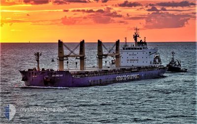
AN DING HAI
Cargo

Current Trip
| Time Travelled | 49 days |
|---|---|
| Remaining Time | --- |
| Distance Travelled | 12288.18 nm |
| Remaining Distance | 1330.84 nm |
| AVG Speed | 12.1 Knop |
| MAX Speed | 15.7 Knop |
| AVG Wind | 10.1 knots |
| MAX Wind | 23.8 knots |
| MIN Temp | 11.2°C / 52.16°F |
| MAX Temp | 36.5°C / 97.7°F |
| Djupgående | 9.8 m |
| Position mottagen | 2025-02-27 11:44 |
Current Position
| Longitud | --- |
|---|---|
| Latitude | --- |
| Status | Under way using engine |
| Fart | 9.8 Knop |
| Kurs | 37.6° |
| Område | Indian Ocean |
| Station | T-AIS |
| Position mottagen | 2025-02-27 11:44 |
Information
The current position of AN DING HAI is in Indian Ocean with coordinates -29.90016° / 31.66556° as reported on 2025-02-27 11:44 by AIS to our vessel tracker app. The vessel's current speed is 9.8 Knop and is heading at the port of HAMBANTOTA.
The vessel AN DING HAI (IMO: 9751303, MMSI: 477850300) is a Cargo It's sailing under the flag of [HK] Hong Kong.
In this page you can find informations about the vessels current position, last detected port calls, and current voyage information. If the vessels is not in coverage by AIS you will find the latest position.
The current position of AN DING HAI is detected by our AIS receivers and we are not responsible for the reliability of the data. The last position was recorded while the vessel was in Coverage by the Ais receivers of our vessel tracking app.
The current draught of AN DING HAI as reported by AIS is 9.8 meters
Weather
| Temperature | 26.6°C / 79.88°F |
|---|---|
| Wind Speed | 9 knots |
| Direction | 33° NNE |
| Pressure | 1009.9 hPa |
| Humidity | 81.5 % |
| Cloud Coverage | 100 % |


Featured Company
Last Port Calls
| Port | Arrival | Departure | Time In Port |
|---|---|---|---|
| 2025-02-01 14:12 | 2025-02-07 21:46 | 6 d | |
| 2025-01-02 15:04 | 2025-01-10 06:51 | 7 d |
Last Trips
| Origin | Departure | Destination | Arrival | Distance | |
|---|---|---|---|---|---|
| 2025-01-10 06:51 | 2025-02-01 14:12 | 562.57 nm | |||
| 2024-12-15 04:11 | 2025-01-02 15:04 | 4905.47 nm |
Events
| Tid | Event | Detaljer | Position / Dest | Information |
|---|---|---|---|---|
| 2025-03-29 12:22 | STARTAR förflyttning | 14.62 nm, South of PORT KLANG |
2.75538 / 101.32333
LK HBA
|
Fart: 3.2 kn Kurs: 279° |
| 2025-03-29 05:17 | STOPPAR förflyttning | 14.5 nm, South of PORT KLANG |
2.75745 / 101.32293
LK HBA
|
Fart: Kurs: 143° |
| 2025-03-21 09:03 | STOPPAR förflyttning | 11.06 nm, South of MONGLA |
22.28785 / 89.58969
LK HBA
|
Fart: 0.3 kn Kurs: 232° |
| 2025-03-20 10:58 | STARTAR förflyttning | 5.51 nm, West of CHITTAGONG |
22.25327 / 91.71958
LK HBA
|
Fart: 3.4 kn Kurs: 219° |