
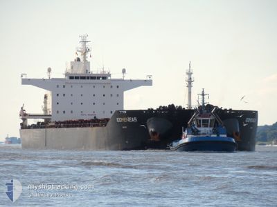
IDOMENEAS
Bulk Carrier
Current Trip
| Time Travelled | 27 days |
|---|---|
| Remaining Time | 6 days |
| Distance Travelled | 7213.14 морская миля |
| Remaining Distance | 1655.14 морская миля |
| AVG Speed | 10.7 Узлы |
| MAX Speed | 10.7 Узлы |
| AVG Wind | 11.1 knots |
| MAX Wind | 29.9 knots |
| MIN Temp | 15.8°C / 60.44°F |
| MAX Temp | 29.7°C / 85.46°F |
| Осадка | 9.9 м |
| Позиция Получена | 6 d тому назад |
Current Position
| Долгота | 18.18701° |
|---|---|
| Широта | -33.87006° |
| Статус | Under way using engine |
| Скорость | 8.8 Узлы |
| Курс | 273.1° |
| Район | South Atlantic Ocean |
| Станция | T-AIS |
| Позиция Получена | 6 d тому назад |
Info
Information
The current position of IDOMENEAS is in South Atlantic Ocean with coordinates -33.87006° / 18.18701° as reported on 2024-05-11 13:12 by AIS to our vessel tracker app. The vessel's current speed is 8.8 Узлы and is heading at the port of PONTA UBU. The estimated time of arrival as calculated by MyShipTracking vessel tracking app is 2024-05-24 06:38 LT
The vessel IDOMENEAS (IMO: 9448035, MMSI: 636017713) is a Bulk Carrier that was built in 2010 ( 14 лет ). It's sailing under the flag of [LR] Liberia.
In this page you can find informations about the vessels current position, last detected port calls, and current voyage information. If the vessels is not in coverage by AIS you will find the latest position.
The current position of IDOMENEAS is detected by our AIS receivers and we are not responsible for the reliability of the data. The last position was recorded while the vessel was in Coverage by the Ais receivers of our vessel tracking app.
The current draught of IDOMENEAS as reported by AIS is 9.9 meters
Weather
| Temperature | 21.9°C / 71.42°F |
|---|---|
| Wind Speed | 10 knots |
| Direction | 285° WNW |
| Pressure | 1021.1 hPa |
| Humidity | 88 % |
| Cloud Coverage | 82 % |
Featured Company
Events
| Время | Событие | Детали | Позиция / Направление | Информация |
|---|---|---|---|---|
| 2024-05-11 13:20 | Статус изменился | Default Under way using engine |
-33.86877 / 18.16364
BRPOU
|
Скорость: 8.8 kn Курс: 273.1° |
| 2024-05-11 13:12 | Вне покрытия |
-33.87006 / 18.18701
South Atlantic Ocean
BRPOU
|
Скорость: 8.8 kn Курс: 273.1° |
|
| 2024-05-11 11:48 | Статус изменился | Under way using engine Default |
-33.93418 / 18.18828
BRPOU
|
Скорость: 7.2 kn Курс: 30° |
| 2024-05-11 11:47 | Статус изменился | Default Under way using engine |
-33.93515 / 18.18768
BRPOU
|
Скорость: 8.5 kn Курс: 25° |
| 2024-05-11 09:36 | Статус изменился | Under way using engine Default |
-34.26496 / 18.16224
BRPOU
|
Скорость: 9.9 kn Курс: 352° |
| 2024-05-11 09:33 | Статус изменился | Default Under way using engine |
-34.27235 / 18.16329
BRPOU
|
Скорость: 10 kn Курс: 349.7° |
| 2024-05-11 09:11 | Статус изменился | Under way using engine Default |
-34.32792 / 18.19055
BRPOU
|
Скорость: 9.9 kn Курс: 319° |
| 2024-05-11 09:03 | Статус изменился | Default Under way using engine |
-34.34500 / 18.20833
BRPOU
|
Скорость: 9.8 kn Курс: 319.9° |
| 2024-05-11 08:49 | Статус изменился | Under way using engine Default |
-34.37488 / 18.23636
BRPOU
|
Скорость: 9 kn Курс: 320° |
| 2024-05-11 08:45 | Статус изменился | Default Under way using engine |
-34.38334 / 18.24500
BRPOU
|
Скорость: 9.9 kn Курс: 319.2° |