
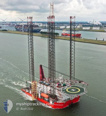
GMS ENDEAVOUR 6102
Offshore Construction Jack Up
Current Trip
GBHLY>>WDS OWF
| Time Travelled | 18 h, 21 mins |
|---|---|
| Remaining Time | --- |
| Distance Travelled | 17.29 морская миля |
| Remaining Distance | --- |
| AVG Speed | 4.6 Узлы |
| MAX Speed | 6 Узлы |
| AVG Wind | 10.2 knots |
| MAX Wind | 11 knots |
| MIN Temp | 4.4°C / 39.92°F |
| MAX Temp | 6.6°C / 43.88°F |
| Осадка | 6.4 м |
| Позиция Получена | 14 h, 21 m тому назад |
Current Position
| Долгота | --- |
|---|---|
| Широта | --- |
| Статус | Under way using engine |
| Скорость | 6 Узлы |
| Курс | 74° |
| Район | Irish Sea and St. George's Channel |
| Станция | T-AIS |
| Позиция Получена | 14 h, 21 m тому назад |
Info
Information
The current position of GMS ENDEAVOUR 6102 is in Irish Sea and St. George's Channel with coordinates 53.47950° / -4.38050° as reported on 2026-01-07 20:16 by AIS to our vessel tracker app. The vessel's current speed is 6 Узлы
The vessel GMS ENDEAVOUR 6102 (IMO: 9558983, MMSI: 370582000) is a Offshore Construction Jack Up that was built in 2011 ( 15 лет ). It's sailing under the flag of [PA] Panama.
In this page you can find informations about the vessels current position, last detected port calls, and current voyage information. If the vessels is not in coverage by AIS you will find the latest position.
The current position of GMS ENDEAVOUR 6102 is detected by our AIS receivers and we are not responsible for the reliability of the data. The last position was recorded while the vessel was in Coverage by the Ais receivers of our vessel tracking app.
The current draught of GMS ENDEAVOUR 6102 as reported by AIS is 6.4 meters
Weather
| Temperature | 4.4°C / 39.92°F |
|---|---|
| Wind Speed | 4 knots |
| Direction | 261° W |
| Pressure | 1005.1 hPa |
| Humidity | 93.6 % |
| Cloud Coverage | 100 % |
Featured Company
Events
| Время | Событие | Детали | Позиция / Направление | Информация |
|---|---|---|---|---|
| 2026-01-07 20:16 | Вне покрытия |
53.47950 / -4.38050
Irish Sea and St. George's Channel
GBHLY>>WDS OWF
|
Скорость: 6 kn Курс: 74° |
|
| 2026-01-07 20:16 | В покрытии |
53.47950 / -4.38050
Irish Sea and St. George's Channel
GBHLY>>WDS OWF
|
Скорость: 6 kn Курс: 74° |
|
| 2026-01-07 17:42 | Вне покрытия |
53.40483 / -4.66667
Irish Sea and St. George's Channel
GBHLY>>WDS OWF
|
Скорость: 3.7 kn Курс: 34° |
|
| 2026-01-07 16:59 | ETA изменился | 2026/01/08 07:00 2026/01/08 13:07 |
53.35983 / -4.66650
GBHLY>>WDS OWF
|
Скорость: 4.7 kn Курс: 321° |
| 2026-01-07 16:26 | Начало движения | 1.49 nm, North East of HOLYHEAD |
53.33517 / -4.60933
GBHLY>>WDS OWF
|
Скорость: 4.7 kn Курс: 346° |
| 2026-01-07 16:16 | Статус изменился | Under way using engine Moored |
53.32833 / -4.61000
GBHLY>>WDS OWF
|
Скорость: 0.1 kn Курс: 294° |
| 2026-01-07 16:16 | ПОРТ ОТПРАВЛЕНИЯ |
|
53.32833 / -4.61000
GBHLY>>WDS OWF
|
Скорость: 0.1 kn Курс: 294° |
| 2026-01-07 15:01 | Статус изменился | Moored Restricted manoeuverability |
53.32500 / -4.62017
[GB] HOLYHEAD
|
Скорость: 0.1 kn Курс: 294° |
| 2026-01-07 15:01 | Статус изменился | Restricted manoeuverability Moored |
53.32500 / -4.62017
[GB] HOLYHEAD
|
Скорость: 0.2 kn Курс: 294° |
| 2026-01-07 15:01 | Осадка изменилась | 6.4 6.3 |
53.32500 / -4.62017
[GB] HOLYHEAD
|
Скорость: 0.2 kn Курс: 294° |