

F CHARM
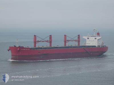
Bulker

Current Trip
DUQM
| Time Travelled | 19 h, 17 mins |
|---|---|
| Remaining Time | --- |
| Distance Travelled | 196.43 nm |
| Remaining Distance | --- |
| AVG Speed | 11.1 Knopen |
| MAX Speed | 12 Knopen |
| AVG Wind | 8.5 knots |
| MAX Wind | 10.2 knots |
| MIN Temp | 24.9°C / 76.82°F |
| MAX Temp | 25.6°C / 78.08°F |
| Diepgang | 6.9 M |
| Positie ontvangen | 5 d geleden |
Current Position
| Lengtegraad | --- |
|---|---|
| Breedtegraat | --- |
| Status | Under way using engine |
| Snelheid | 13 Knopen |
| Koers | 128.3° |
| Gebied | Gulf of Oman |
| Station | T-AIS |
| Positie ontvangen | 5 d geleden |
Information
The current position of F CHARM is in Gulf of Oman with coordinates 25.09825° / 57.19455° as reported on 2025-03-24 19:11 by AIS to our vessel tracker app. The vessel's current speed is 13 Knopen
The vessel F CHARM (IMO: 9642203, MMSI: 355142000) is a Bulker that was built in 2013 ( 12 Jaar oud ). It's sailing under the flag of [PA] Panama.
In this page you can find informations about the vessels current position, last detected port calls, and current voyage information. If the vessels is not in coverage by AIS you will find the latest position.
The current position of F CHARM is detected by our AIS receivers and we are not responsible for the reliability of the data. The last position was recorded while the vessel was in Coverage by the Ais receivers of our vessel tracking app.
The current draught of F CHARM as reported by AIS is 6.9 meters
Weather
| Temperature | 25.4°C / 77.72°F |
|---|---|
| Wind Speed | 8 knots |
| Direction | 70° ENE |
| Pressure | 1014 hPa |
| Humidity | 62.7 % |
| Cloud Coverage | --- |


Featured Company
Last Trips
Events
| Tijd | Evenement | Details | Positie / Bestemming | Info |
|---|---|---|---|---|
| 2025-03-29 11:23 | Vertrekhaven |
|
19.70259 / 57.73093
DUQM
|
Snelheid: 5.7 kn Koers: 66° |
| 2025-03-29 10:55 | Start beweging |
19.68338 / 57.69449
[OM] AL DUQM
|
Snelheid: 3.6 kn Koers: 95° |
|
| 2025-03-26 10:53 | Stop beweging |
19.68586 / 57.68910
[OM] AL DUQM
|
Snelheid: 0.1 kn Koers: 230° |
|
| 2025-03-26 10:16 | Aankomsthaven |
|
19.68502 / 57.72252
[OM] AL DUQM
|
Snelheid: 9.1 kn Koers: 211° |
| 2025-03-24 19:14 | Status Changed | Default Under way using engine |
25.09162 / 57.20381
DUQM
|
Snelheid: 13 kn Koers: 128.3° |
| 2025-03-24 19:11 | Status Changed | Under way using engine Default |
25.09825 / 57.19455
DUQM
|
Snelheid: 13.1 kn Koers: 128° |
| 2025-03-24 19:11 | Buitenbereik |
25.09825 / 57.19455
Gulf of Oman
DUQM
|
Snelheid: 13 kn Koers: 128.3° |
|
| 2025-03-24 18:55 | Status Changed | Default Under way using engine |
25.13418 / 57.14417
DUQM
|
Snelheid: 13 kn Koers: 127.7° |
| 2025-03-24 18:37 | Gevonden in zee | Iranian part of the Gulf of Oman |
25.16971 / 57.08707
Gulf of Oman
DUQM
|
Snelheid: 13 kn Koers: 121.8° |
| 2025-03-24 16:04 | ETA Changed | 2025/03/26 11:00 2025/03/26 08:30 |
25.40434 / 56.55067
DUQM
|
Snelheid: 7.1 kn Koers: 60.8° |