
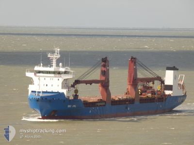
BBC OPAL
Cargo
Current Trip
| Time Travelled | 1 day |
|---|---|
| Remaining Time | 33 mins |
| Distance Travelled | 291.21 nm |
| Remaining Distance | 7.70 nm |
| AVG Speed | 11.3 Knopen |
| MAX Speed | 15.5 Knopen |
| AVG Wind | 15.9 knots |
| MAX Wind | 28 knots |
| MIN Temp | 2.5°C / 36.5°F |
| MAX Temp | 11.1°C / 51.98°F |
| Diepgang | 6.8 M |
| Positie ontvangen | 1 m geleden |
Current Position
| Lengtegraad | --- |
|---|---|
| Breedtegraat | --- |
| Status | Under way using engine |
| Snelheid | 7.2 Knopen |
| Koers | 75.8° |
| Gebied | North Sea |
| Station | T-AIS |
| Positie ontvangen | 1 m geleden |
Info
Information
The current position of BBC OPAL is in North Sea with coordinates 52.46727° / 4.57726° as reported on 2025-12-06 18:15 by AIS to our vessel tracker app. The vessel's current speed is 7.2 Knopen and is heading at the port of AMSTERDAM. The estimated time of arrival as calculated by MyShipTracking vessel tracking app is 2025-12-06 19:50 LT
The vessel BBC OPAL (IMO: 9506758, MMSI: 305776000) is a Cargo It's sailing under the flag of [AG] Antigua Barbuda.
In this page you can find informations about the vessels current position, last detected port calls, and current voyage information. If the vessels is not in coverage by AIS you will find the latest position.
The current position of BBC OPAL is detected by our AIS receivers and we are not responsible for the reliability of the data. The last position was recorded while the vessel was in Coverage by the Ais receivers of our vessel tracking app.
The current draught of BBC OPAL as reported by AIS is 6.8 meters
Weather
| Temperature | 10.4°C / 50.72°F |
|---|---|
| Wind Speed | 20 knots |
| Direction | 219° SW |
| Pressure | 998.9 hPa |
| Humidity | 89.6 % |
| Cloud Coverage | 94 % |
Featured Company
Last Trips
| Origin | Departure | Destination | Arrival | Distance | |
|---|---|---|---|---|---|
| 2025-12-01 00:10 | 2025-12-02 06:21 | 371.67 nm | |||
| 2025-10-22 03:28 | 2025-11-27 14:45 | 10975.85 nm | |||
| 2025-10-16 22:22 | 2025-10-18 18:48 | 278.95 nm | |||
| 2025-10-05 07:34 | 2025-10-11 02:28 | 1263.84 nm | |||
| 2025-09-06 14:21 | 2025-10-01 10:03 | 1436.76 nm |
Events
| Tijd | Evenement | Details | Positie / Bestemming | Info |
|---|---|---|---|---|
| 2025-12-06 16:06 | Status Changed | Under way using engine Default |
52.52414 / 4.13340
NL AMS
|
Snelheid: 6.7 kn Koers: 154° |
| 2025-12-06 16:05 | Status Changed | Default Under way using engine |
52.52582 / 4.13214
NL AMS
|
Snelheid: 6.2 kn Koers: 149.6° |
| 2025-12-06 15:32 | Status Changed | Under way using engine Default |
52.59596 / 4.07440
NL AMS
|
Snelheid: 9.7 kn Koers: 155° |
| 2025-12-06 15:17 | Binnenbereik |
52.59123 / 4.07822
North Sea
NL AMS
|
Snelheid: 9.4 kn Koers: 157° |
|
| 2025-12-06 13:09 | Status Changed | Default Under way using engine |
52.96731 / 4.03775
NL AMS
|
Snelheid: 12.6 kn Koers: 234.9° |
| 2025-12-06 13:04 | Status Changed | Under way using engine Default |
52.97796 / 4.06280
NL AMS
|
Snelheid: 12.6 kn Koers: 234° |
| 2025-12-06 13:04 | Buitenbereik |
52.97796 / 4.06280
North Sea
NL AMS
|
Snelheid: 12.6 kn Koers: 234.9° |
|
| 2025-12-06 12:53 | Status Changed | Default Under way using engine |
52.99944 / 4.11293
NL AMS
|
Snelheid: 12.5 kn Koers: 233.4° |
| 2025-12-06 12:26 | Status Changed | Under way using engine Default |
53.05712 / 4.23363
NL AMS
|
Snelheid: 12.7 kn Koers: 228° |
| 2025-12-06 12:25 | Status Changed | Default Under way using engine |
53.06033 / 4.23949
NL AMS
|
Snelheid: 12.6 kn Koers: 227.3° |