
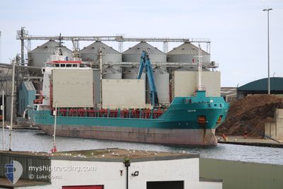
AGATTU
General Cargo
Current Trip
BALSTA
| Time Travelled | 4 days |
|---|---|
| Remaining Time | --- |
| Distance Travelled | 421.22 nm |
| Remaining Distance | --- |
| AVG Speed | 7.6 Knopen |
| MAX Speed | 9.6 Knopen |
| AVG Wind | 6 knots |
| MAX Wind | 28 knots |
| MIN Temp | 15.9°C / 60.62°F |
| MAX Temp | 21.1°C / 69.98°F |
| Diepgang | 6.3 M |
| Positie ontvangen | 1 d geleden |
Current Position
| Lengtegraad | --- |
|---|---|
| Breedtegraat | --- |
| Status | Under way using engine |
| Snelheid | 7.7 Knopen |
| Koers | 0.6° |
| Gebied | North Atlantic Ocean |
| Station | T-AIS |
| Positie ontvangen | 1 d geleden |
Info
Information
The current position of AGATTU is in North Atlantic Ocean with coordinates 40.46013° / -9.81496° as reported on 2024-11-26 17:21 by AIS to our vessel tracker app. The vessel's current speed is 7.7 Knopen
The vessel AGATTU (IMO: 9125097, MMSI: 629009234) is a General Cargo that was built in 1997 ( 27 Jaar oud ). It's sailing under the flag of [GM] Gambia.
In this page you can find informations about the vessels current position, last detected port calls, and current voyage information. If the vessels is not in coverage by AIS you will find the latest position.
The current position of AGATTU is detected by our AIS receivers and we are not responsible for the reliability of the data. The last position was recorded while the vessel was in Coverage by the Ais receivers of our vessel tracking app.
The current draught of AGATTU as reported by AIS is 6.3 meters
Weather
| Temperature | 16.8°C / 62.24°F |
|---|---|
| Wind Speed | 10 knots |
| Direction | 185° S |
| Pressure | 1021.8 hPa |
| Humidity | 68.9 % |
| Cloud Coverage | 57 % |
Featured Company
Events
| Tijd | Evenement | Details | Positie / Bestemming | Info |
|---|---|---|---|---|
| 2024-11-26 17:21 | Buitenbereik |
40.46013 / -9.81496
North Atlantic Ocean
BALSTA
|
Snelheid: 7.7 kn Koers: 0.6° |
|
| 2024-11-26 17:21 | Binnenbereik |
40.46013 / -9.81496
North Atlantic Ocean
BALSTA
|
Snelheid: 7.7 kn Koers: 0.6° |
|
| 2024-11-26 12:46 | Buitenbereik |
39.83517 / -9.83672
North Atlantic Ocean
BALSTA
|
Snelheid: 8.3 kn Koers: 1.3° |
|
| 2024-11-26 12:27 | ETA Changed | 2024/12/06 19:00 2024/12/10 19:00 |
39.79136 / -9.83778
BALSTA
|
Snelheid: 8.1 kn Koers: 359.4° |
| 2024-11-25 19:11 | Binnenbereik |
37.58607 / -9.51426
North Atlantic Ocean
BALSTA
|
Snelheid: 7.9 kn Koers: 346.4° |
|
| 2024-11-25 10:07 | Buitenbereik |
36.65013 / -8.83089
North Atlantic Ocean
BALSTA
|
Snelheid: 7.7 kn Koers: 291.8° |
|
| 2024-11-25 10:06 | Binnenbereik |
36.65013 / -8.83089
North Atlantic Ocean
BALSTA
|
Snelheid: 7.7 kn Koers: 291.8° |
|
| 2024-11-25 08:10 | Buitenbereik |
36.59494 / -8.56419
North Atlantic Ocean
BALSTA
|
Snelheid: 5.9 kn Koers: 273° |
|
| 2024-11-25 06:48 | Wijzig zee gebeid | Portuguese part of the North Atlantic Ocean Spanish part of the North Atlantic Ocean |
36.56622 / -8.40007
North Atlantic Ocean
BALSTA
|
Snelheid: 5.9 kn Koers: 287.6° |
| 2024-11-25 06:47 | Binnenbereik |
36.56622 / -8.40007
North Atlantic Ocean
BALSTA
|
Snelheid: 5.9 kn Koers: 287.6° |