
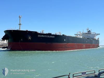
SEAWAYS COLORADO
Tanker
Current Trip
TTOPL
| Time Travelled | 13 days |
|---|---|
| Remaining Time | --- |
| Distance Travelled | 3640.60 nm |
| Remaining Distance | --- |
| AVG Speed | 12.9 Noeuds |
| MAX Speed | 17.1 Noeuds |
| AVG Wind | 11.5 knots |
| MAX Wind | 27 knots |
| MIN Temp | 2.5°C / 36.5°F |
| MAX Temp | 28.1°C / 82.58°F |
| Tirant d eau | 9 m |
| Position reçue | 2 d depuis |
Current Position
| Longitude | --- |
|---|---|
| Latitude | --- |
| Etat | Under way using engine |
| Vitesse | 11.9 Noeuds |
| Parcours | 159.3° |
| Zone | North Atlantic Ocean |
| Station | T-AIS |
| Position reçue | 2 d depuis |
Info
Information
The current position of SEAWAYS COLORADO is in North Atlantic Ocean with coordinates 40.45023° / -65.58601° as reported on 2024-10-20 14:47 by AIS to our vessel tracker app. The vessel's current speed is 11.9 Noeuds
The vessel SEAWAYS COLORADO (IMO: 9594767, MMSI: 538004034) is a Tanker It's sailing under the flag of [MH] Marshall Is.
In this page you can find informations about the vessels current position, last detected port calls, and current voyage information. If the vessels is not in coverage by AIS you will find the latest position.
The current position of SEAWAYS COLORADO is detected by our AIS receivers and we are not responsible for the reliability of the data. The last position was recorded while the vessel was in Coverage by the Ais receivers of our vessel tracking app.
The current draught of SEAWAYS COLORADO as reported by AIS is 9 meters
Weather
| Temperature | 25.6°C / 78.08°F |
|---|---|
| Wind Speed | 15 knots |
| Direction | 124° SE |
| Pressure | 1019.8 hPa |
| Humidity | 79 % |
| Cloud Coverage | 100 % |
Featured Company
Events
| Heure | Evenement | Détails | Position/ Destination | Info |
|---|---|---|---|---|
| 2024-10-20 14:53 | Etat Changé | Default Under way using engine |
40.43417 / -65.57803
TTOPL
|
Vitesse: 11.9 kn Parcours: 159.3° |
| 2024-10-20 14:47 | Hors de la zone couverte |
40.45023 / -65.58601
North Atlantic Ocean
TTOPL
|
Vitesse: 11.9 kn Parcours: 159.3° |
|
| 2024-10-20 14:47 | Etat Changé | Under way using engine Default |
40.45023 / -65.58601
TTOPL
|
Vitesse: 11.8 kn Parcours: 159° |
| 2024-10-20 14:41 | Dans la zone couverte |
40.45023 / -65.58601
North Atlantic Ocean
TTOPL
|
Vitesse: 11.9 kn Parcours: 159.3° |
|
| 2024-10-20 13:51 | Etat Changé | Default Under way using engine |
40.61956 / -65.67885
TTOPL
|
Vitesse: 12 kn Parcours: 157.5° |
| 2024-10-20 13:45 | Hors de la zone couverte |
40.63793 / -65.68905
North Atlantic Ocean
TTOPL
|
Vitesse: 12 kn Parcours: 157.5° |
|
| 2024-10-20 13:28 | Etat Changé | Under way using engine Default |
40.68971 / -65.72093
TTOPL
|
Vitesse: 12.3 kn Parcours: 154° |
| 2024-10-20 13:28 | Dans la zone couverte |
40.68971 / -65.72093
North Atlantic Ocean
TTOPL
|
Vitesse: 12.2 kn Parcours: 155.1° |
|
| 2024-10-20 12:07 | Etat Changé | Default Under way using engine |
40.94664 / -65.86398
TTOPL
|
Vitesse: 12.7 kn Parcours: 158.5° |
| 2024-10-20 12:02 | Hors de la zone couverte |
40.96359 / -65.87291
North Atlantic Ocean
TTOPL
|
Vitesse: 12.7 kn Parcours: 158.5° |