
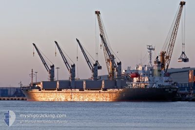
MED ISLAND
Bulk Carrier
Current Trip
| Trip Time | 29 days |
|---|---|
| Trip Distance | 3948.72 nm |
| AVG Speed | 10.3 Noeuds |
| MAX Speed | 10.3 Noeuds |
| Tirant d eau | 9.8 m |
| AVG Wind | 10.8 knots |
| MAX Wind | 32 knots |
| MIN Temp | 6.5°C / 43.7°F |
| MAX Temp | 25.3°C / 77.54°F |
| Position reçue | 4 d depuis |
Current Position
| Longitude | --- |
|---|---|
| Latitude | --- |
| Etat | Under way using engine |
| Vitesse | 9.4 Noeuds |
| Parcours | 285° |
| Zone | Mediterranean Sea - Eastern Basin |
| Station | T-AIS |
| Position reçue | 4 d depuis |
Info
Information
The current position of MED ISLAND is in Mediterranean Sea - Eastern Basin with coordinates 36.08296° / 22.77670° as reported on 2024-11-20 08:18 by AIS to our vessel tracker app. The vessel's current speed is 9.4 Noeuds and is currently inside the port of RADES.
The vessel MED ISLAND (IMO: 9322748, MMSI: 256155000) is a Bulk Carrier that was built in 2005 ( 19 Age ). It's sailing under the flag of [MT] Malta.
In this page you can find informations about the vessels current position, last detected port calls, and current voyage information. If the vessels is not in coverage by AIS you will find the latest position.
The current position of MED ISLAND is detected by our AIS receivers and we are not responsible for the reliability of the data. The last position was recorded while the vessel was in Coverage by the Ais receivers of our vessel tracking app.
The current draught of MED ISLAND as reported by AIS is 9.8 meters
Weather
| Temperature | 19.7°C / 67.46°F |
|---|---|
| Wind Speed | 11 knots |
| Direction | 164° SSE |
| Pressure | 1029.6 hPa |
| Humidity | 40.2 % |
| Cloud Coverage | 8 % |
Featured Company
Events
| Heure | Evenement | Détails | Position/ Destination | Info |
|---|---|---|---|---|
| 2024-11-23 10:28 | Arret |
36.80737 / 10.30174
[TN] RADES
|
Vitesse: 0.3 kn Parcours: 286° |
|
| 2024-11-23 10:14 | Port d'arrivée |
|
36.80737 / 10.30174
[TN] RADES
|
Vitesse: 8.7 kn Parcours: 285° |
| 2024-11-20 08:25 | Etat Changé | Default Under way using engine |
36.08781 / 22.75520
TN RDS
|
Vitesse: 9.4 kn Parcours: 285° |
| 2024-11-20 08:18 | Etat Changé | Under way using engine Default |
36.08296 / 22.77670
TN RDS
|
Vitesse: 9.4 kn Parcours: 285° |
| 2024-11-20 08:18 | Hors de la zone couverte |
36.08296 / 22.77670
Mediterranean Sea - Eastern Basin
TN RDS
|
Vitesse: 9.4 kn Parcours: 285° |
|
| 2024-11-20 08:07 | Dans la zone couverte |
36.08296 / 22.77670
Mediterranean Sea - Eastern Basin
TN RDS
|
Vitesse: 9.4 kn Parcours: 285° |
|
| 2024-11-20 07:15 | Etat Changé | Default Under way using engine |
36.05109 / 22.97654
TN RDS
|
Vitesse: 9.5 kn Parcours: 270.6° |
| 2024-11-20 07:11 | Hors de la zone couverte |
36.05100 / 22.98962
Mediterranean Sea - Eastern Basin
TN RDS
|
Vitesse: 9.5 kn Parcours: 270.6° |
|
| 2024-11-20 07:10 | Changement de zone | Greek part of the Mediterranean Sea - Eastern Basin Greek part of the Aegean Sea |
36.05096 / 22.99303
Mediterranean Sea - Eastern Basin
TN RDS
|
Vitesse: 9.5 kn Parcours: 270.5° |
| 2024-11-20 07:10 | Etat Changé | Under way using engine Default |
36.05096 / 22.99352
TN RDS
|
Vitesse: 9.5 kn Parcours: 282° |