
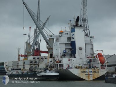
COOL MAGNUS
Reefer
Current Trip
| Time Travelled | 11 days |
|---|---|
| Remaining Time | --- |
| Distance Travelled | 2650.31 nm |
| Remaining Distance | --- |
| AVG Speed | 15.9 Noeuds |
| MAX Speed | 19 Noeuds |
| AVG Wind | 12.5 knots |
| MAX Wind | 26 knots |
| MIN Temp | 13.9°C / 57.02°F |
| MAX Temp | 29.7°C / 85.46°F |
| Tirant d eau | 9.5 m |
| Position reçue | 11 d depuis |
Current Position
| Longitude | 121.80120° |
|---|---|
| Latitude | 25.54215° |
| Etat | Under way using engine |
| Vitesse | 15.4 Noeuds |
| Parcours | 2.3° |
| Zone | Eastern China Sea |
| Station | T-AIS |
| Position reçue | 11 d depuis |
Info
Information
The current position of COOL MAGNUS is in Eastern China Sea with coordinates 25.54215° / 121.80120° as reported on 2024-04-17 08:46 by AIS to our vessel tracker app. The vessel's current speed is 15.4 Noeuds and is heading at the port of SHANGHAI. The estimated time of arrival as calculated by MyShipTracking vessel tracking app is 2024-04-18 22:30 LT
The vessel COOL MAGNUS (IMO: 9167801, MMSI: 311001083) is a Reefer that was built in 2000 ( 24 Age ). It's sailing under the flag of [BS] Bahamas.
In this page you can find informations about the vessels current position, last detected port calls, and current voyage information. If the vessels is not in coverage by AIS you will find the latest position.
The current position of COOL MAGNUS is detected by our AIS receivers and we are not responsible for the reliability of the data. The last position was recorded while the vessel was in Coverage by the Ais receivers of our vessel tracking app.
The current draught of COOL MAGNUS as reported by AIS is 9.5 meters
Weather
| Temperature | 29.1°C / 84.38°F |
|---|---|
| Wind Speed | 8 knots |
| Direction | 53° NE |
| Pressure | 1009.2 hPa |
| Humidity | 76.9 % |
| Cloud Coverage | 100 % |
Featured Company
Last Port Calls
| Port | Arrival | Departure | Time In Port |
|---|---|---|---|
| 2024-04-17 00:32 | 2024-04-17 07:17 | 6 h | |
| 2024-04-01 19:27 | 2024-04-05 02:23 | 3 d | |
| 2024-03-29 11:53 | 2024-03-30 04:19 | 16 h | |
| 2024-03-11 21:59 | 2024-03-15 10:05 | 3 d | |
| 2024-02-25 08:14 | 2024-02-29 01:32 | 3 d | |
| 2024-02-09 16:03 | 2024-02-13 14:21 | 3 d |
Most Visited Ports (Last year)
| Port | Arrivals | |
|---|---|---|
| 3 | ||
| 2 | ||
| 2 | ||
| 2 | ||
| 2 | ||
| 1 |
Last Trips
| Origin | Departure | Destination | Arrival | Distance | |
|---|---|---|---|---|---|
| 2024-04-05 15:23 | 2024-04-17 08:32 | 4956.01 nm | |||
| 2024-03-30 17:19 | 2024-04-02 08:27 | 20.06 nm | |||
| 2024-03-15 03:05 | 2024-03-30 00:53 | 5692.97 nm | |||
| 2024-02-28 22:32 | 2024-03-11 14:59 | 4801.55 nm | |||
| 2024-02-13 06:21 | 2024-02-25 05:14 | 4806.11 nm | |||
| 2024-01-28 21:04 | 2024-02-09 08:03 | 4671.35 nm |
Events
| Heure | Evenement | Détails | Position/ Destination | Info |
|---|---|---|---|---|
| 2024-04-23 09:16 | Démarrage | 17.9 nm, East of CAOJING |
30.83062 / 121.83652
CNSHG BY Y7 & Y8
|
Vitesse: 5.9 kn Parcours: 150° |
| 2024-04-20 02:44 | Arret | 17.84 nm, East of CAOJING |
30.83620 / 121.83445
CNSHG BY Y7 & Y8
|
Vitesse: 0.2 kn Parcours: 270° |
| 2024-04-19 16:22 | Démarrage |
30.00859 / 123.06477
CNSHG BY Y7 & Y8
|
Vitesse: 5 kn Parcours: 35° |