
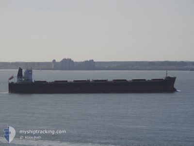
CAPE AKAMAS
Bulk Carrier
Current Trip
BUTANI,INDONESIA
| Time Travelled | 2 days |
|---|---|
| Remaining Time | --- |
| Distance Travelled | 732.22 nm |
| Remaining Distance | --- |
| AVG Speed | 11.8 Noeuds |
| MAX Speed | 13.8 Noeuds |
| AVG Wind | 8.8 knots |
| MAX Wind | 16.9 knots |
| MIN Temp | 25°C / 77°F |
| MAX Temp | 30.3°C / 86.54°F |
| Tirant d eau | 7.4 m |
| Position reçue | 6 d depuis |
Current Position
| Longitude | 108.36067° |
|---|---|
| Latitude | 20.27958° |
| Etat | Under way using engine |
| Vitesse | 11.2 Noeuds |
| Parcours | 3° |
| Zone | South China Sea |
| Station | T-AIS |
| Position reçue | 6 d depuis |
Info
Information
The current position of CAPE AKAMAS is in South China Sea with coordinates 20.27958° / 108.36067° as reported on 2024-05-05 16:12 by AIS to our vessel tracker app. The vessel's current speed is 11.2 Noeuds
The vessel CAPE AKAMAS (IMO: 9481453, MMSI: 255802650) is a Bulk Carrier that was built in 2010 ( 14 Age ). It's sailing under the flag of [PT] Portugal.
In this page you can find informations about the vessels current position, last detected port calls, and current voyage information. If the vessels is not in coverage by AIS you will find the latest position.
The current position of CAPE AKAMAS is detected by our AIS receivers and we are not responsible for the reliability of the data. The last position was recorded while the vessel was in Coverage by the Ais receivers of our vessel tracking app.
The current draught of CAPE AKAMAS as reported by AIS is 7.4 meters
Weather
| Temperature | 30.1°C / 86.18°F |
|---|---|
| Wind Speed | 9 knots |
| Direction | 79° E |
| Pressure | 1010.2 hPa |
| Humidity | 73.2 % |
| Cloud Coverage | 31 % |
Featured Company
Events
| Heure | Evenement | Détails | Position/ Destination | Info |
|---|---|---|---|---|
| 2024-05-09 15:40 | PORT DE DEPART |
|
21.45960 / 109.54860
BUTANI,INDONESIA
|
Vitesse: 4.8 kn Parcours: 165° |
| 2024-05-09 15:32 | Démarrage |
21.48002 / 109.55392
[CN] TIESHAN
|
Vitesse: 4.8 kn Parcours: 165° |
|
| 2024-05-06 18:36 | Arret |
21.48455 / 109.55445
[CN] TIESHAN
|
Vitesse: 0.3 kn Parcours: 211° |
|
| 2024-05-06 18:32 | Port d'arrivée |
|
21.48420 / 109.55508
[CN] TIESHAN
|
Vitesse: 1.2 kn Parcours: 231° |
| 2024-05-06 11:52 | Démarrage | 8.54 nm, West of WEIZHOU |
21.10752 / 108.94228
BUTANI,INDONESIA
|
Vitesse: 3.8 kn Parcours: 15° |
| 2024-05-05 23:00 | Arret | 8.59 nm, West of WEIZHOU |
21.09728 / 108.93793
BUTANI,INDONESIA
|
Vitesse: 0.2 kn Parcours: 14° |
| 2024-05-05 16:20 | Etat Changé | Default Under way using engine |
20.30502 / 108.36228
BUTANI,INDONESIA
|
Vitesse: 11.2 kn Parcours: 3° |
| 2024-05-05 16:12 | Hors de la zone couverte |
20.27958 / 108.36067
South China Sea
|
Vitesse: 11.2 kn Parcours: 3° |
|
| 2024-05-05 16:11 | Etat Changé | Under way using engine Default |
20.27378 / 108.36030
BUTANI,INDONESIA
|
Vitesse: 11.2 kn Parcours: 4° |
| 2024-05-05 15:40 | Etat Changé | Default Under way using engine |
20.17735 / 108.35050
BUTANI,INDONESIA
|
Vitesse: 11.3 kn Parcours: 6° |