
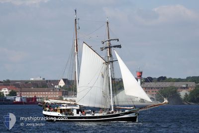
BANJAARD
Sailing Vessel
Current Trip
SAILING
| Time Travelled | 56 mins |
|---|---|
| Remaining Time | --- |
| Distance Travelled | 2.88 nm |
| Remaining Distance | --- |
| AVG Speed | 4 Noeuds |
| MAX Speed | 5 Noeuds |
| AVG Wind | 13.4 knots |
| MAX Wind | 13.8 knots |
| MIN Temp | 13°C / 55.4°F |
| MAX Temp | 14.2°C / 57.56°F |
| Tirant d eau | 2 m |
| Position reçue | Maintenant |
Current Position
| Longitude | 9.96862° |
|---|---|
| Latitude | 54.48329° |
| Etat | Under way sailing |
| Vitesse | 5.1 Noeuds |
| Parcours | 71.4° |
| Zone | Baltic Sea |
| Station | T-AIS |
| Position reçue | Maintenant |
Info
Information
The current position of BANJAARD is in Baltic Sea with coordinates 54.48329° / 9.96862° as reported on 2024-04-28 08:59 by AIS to our vessel tracker app. The vessel's current speed is 5.1 Noeuds
The vessel BANJAARD (IMO: 9096959, MMSI: 245898000) is a Sailing Vessel that was built in 1913 ( 111 Age ). It's sailing under the flag of [NL] Netherlands.
In this page you can find informations about the vessels current position, last detected port calls, and current voyage information. If the vessels is not in coverage by AIS you will find the latest position.
The current position of BANJAARD is detected by our AIS receivers and we are not responsible for the reliability of the data. The last position was recorded while the vessel was in Coverage by the Ais receivers of our vessel tracking app.
The current draught of BANJAARD as reported by AIS is 2 meters
Weather
| Temperature | 13.2°C / 55.76°F |
|---|---|
| Wind Speed | 13 knots |
| Direction | 141° SE |
| Pressure | 1008.9 hPa |
| Humidity | 81.5 % |
| Cloud Coverage | 100 % |
Featured Company
Most Visited Ports (Last year)
| Port | Arrivals | |
|---|---|---|
| 16 | ||
| 13 | ||
| 9 | ||
| 6 | ||
| 6 | ||
| 2 |
Events
| Heure | Evenement | Détails | Position/ Destination | Info |
|---|---|---|---|---|
| 2024-04-28 08:04 | PORT DE DEPART |
|
54.46194 / 9.87795
SAILING
|
Vitesse: 2.9 kn Parcours: 110° |
| 2024-04-28 07:46 | Démarrage |
54.46907 / 9.85502
[DE] ECKERNFOERDE
|
Vitesse: 3.1 kn Parcours: 132° |
|
| 2024-04-27 14:23 | Arret |
54.47453 / 9.84059
[DE] ECKERNFOERDE
|
Vitesse: 0.1 kn Parcours: 126° |
|
| 2024-04-27 13:57 | Port d'arrivée |
|
54.47072 / 9.87806
[DE] ECKERNFOERDE
|
Vitesse: 4.8 kn Parcours: 246° |
| 2024-04-27 07:51 | Démarrage | 0.9 nm, South West of STICKENHΟRN SPORT |
54.36934 / 10.15683
SAILING
|
Vitesse: 3.1 kn Parcours: 64° |
| 2024-04-26 08:49 | Arret | 1.02 nm, South West of STICKENHΟRN SPORT |
54.36893 / 10.15160
SAILING
|
Vitesse: Parcours: 91° |
| 2024-04-26 08:43 | PORT DE DEPART |
|
54.36546 / 10.15207
SAILING
|
Vitesse: 4 kn Parcours: 331° |
| 2024-04-26 08:38 | Démarrage |
54.36239 / 10.15138
[DE] KIEL
|
Vitesse: 3.4 kn Parcours: 126° |
|
| 2024-04-26 08:11 | Arret |
54.36324 / 10.14865
[DE] KIEL
|
Vitesse: 0.3 kn Parcours: 108° |
|
| 2024-04-26 07:57 | Port d'arrivée |
|
54.36386 / 10.15363
[DE] KIEL
|
Vitesse: 4.1 kn Parcours: 185° |