
FOURNI
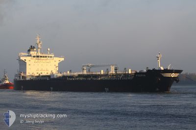
Oil/Chemical Tanker
Current Trip
USPHL
| Time Travelled | 1 day |
|---|---|
| Remaining Time | --- |
| Distance Travelled | 0.64 nm |
| Remaining Distance | --- |
| AVG Speed | --- |
| MAX Speed | --- |
| AVG Wind | 7.2 knots |
| MAX Wind | 9.8 knots |
| MIN Temp | 10.6°C / 51.08°F |
| MAX Temp | 20°C / 68°F |
| Dybgang | 10.9 m |
| Position Modtaget | 1 d siden |
Current Position
| Longitude | -75.16040° |
|---|---|
| Latitude | 39.87920° |
| Status | Under way using engine |
| Fart | |
| Kurs | 97° |
| Område | North Atlantic Ocean |
| Station | T-AIS |
| Position Modtaget | 1 d siden |
Info
Information
The current position of FOURNI is in North Atlantic Ocean with coordinates 39.87920° / -75.16040° as reported on 2024-05-03 06:48 by AIS to our vessel tracker app. The vessel's current speed is 0 Knots
The vessel FOURNI (IMO: 9405564, MMSI: 240991000) is a Oil/Chemical Tanker that was built in 2010 ( 14 år gamle ). It's sailing under the flag of [GR] Greece.
In this page you can find informations about the vessels current position, last detected port calls, and current voyage information. If the vessels is not in coverage by AIS you will find the latest position.
The current position of FOURNI is detected by our AIS receivers and we are not responsible for the reliability of the data. The last position was recorded while the vessel was in Coverage by the Ais receivers of our vessel tracking app.
The current draught of FOURNI as reported by AIS is 10.9 meters
Weather
| Temperature | 11.9°C / 53.42°F |
|---|---|
| Wind Speed | 5 knots |
| Direction | 102° ESE |
| Pressure | 1025.2 hPa |
| Humidity | 68.6 % |
| Cloud Coverage | 100 % |
Featured Company
Last Port Calls
| Port | Arrival | Departure | Time In Port |
|---|---|---|---|
| 2024-05-03 06:16 | 2024-05-03 06:20 | 3 m | |
| 2024-04-10 08:31 | 2024-04-12 17:16 | 2 d | |
| 2024-03-24 10:14 | 2024-03-29 08:17 | 4 d | |
| 2024-03-01 20:40 |
Most Visited Ports (Last year)
| Port | Arrivals | |
|---|---|---|
| 4 | ||
| 2 | ||
| 2 | ||
| 2 | ||
| 2 | ||
| 2 |
Events
| Tid | Hændelsen | Detaljer | Position / Dest | Info |
|---|---|---|---|---|
| 2024-05-03 06:54 | Status er ændret | Default Under way using engine |
39.87915 / -75.16045
USPHL
|
Fart: Kurs: 97° |
| 2024-05-03 06:48 | Udenfor Dækning |
39.87920 / -75.16040
North Atlantic Ocean
|
Fart: Kurs: 121° |
|
| 2024-05-03 06:40 | STOP Sejllads | 0.38 nm, South of PHILADELPHIA |
39.87925 / -75.16013
USPHL
|
Fart: 0.3 kn Kurs: 97° |
| 2024-05-03 06:20 | Afsejlet fra sidste havn |
|
39.88163 / -75.17752
USPHL
|
Fart: 6.5 kn Kurs: 95° |
| 2024-05-03 06:16 | Skibe i havn |
|
39.88200 / -75.18808
[US] PHILADELPHIA
|
Fart: 8.1 kn Kurs: 77° |
| 2024-05-03 04:55 | START Sejllads | 0.98 nm, East of MARCUS HOOK |
39.81322 / -75.39125
USPHL
|
Fart: 3.1 kn Kurs: 42° |
| 2024-05-03 04:49 | Status er ændret | Under way using engine At anchor |
39.81082 / -75.39423
USPHL
|
Fart: 0.7 kn Kurs: 42° |
| 2024-05-03 04:07 | Status er ændret | At anchor Default |
39.81025 / -75.39552
USPHL
|
Fart: 0.1 kn Kurs: 53° |
| 2024-05-03 04:00 | Status er ændret | Default At anchor |
39.81007 / -75.39574
USPHL
|
Fart: Kurs: 50° |
| 2024-05-03 04:00 | Dybgangen er ændret | 10.9 10.6 |
39.81018 / -75.39570
USPHL
|
Fart: Kurs: 50° |