
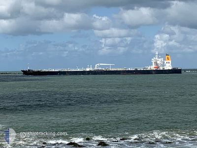
CAPTAIN PARIS
Tanker
Current Trip
| Time Travelled | 28 days |
|---|---|
| Remaining Time | 1 day |
| Distance Travelled | 1397.48 nm |
| Remaining Distance | 496.28 nm |
| AVG Speed | 7.4 Knots |
| MAX Speed | 14 Knots |
| AVG Wind | 20.6 knots |
| MAX Wind | 35 knots |
| MIN Temp | -4.3°C / 24.26°F |
| MAX Temp | 9.6°C / 49.28°F |
| Dybgang | 8.8 m |
| Position Modtaget | 1 m siden |
Current Position
| Longitude | --- |
|---|---|
| Latitude | --- |
| Status | Under way using engine |
| Fart | 11.2 Knots |
| Kurs | 71.3° |
| Område | Baltic Sea |
| Station | T-AIS |
| Position Modtaget | 1 m siden |
Info
Information
The current position of CAPTAIN PARIS is in Baltic Sea with coordinates 54.83831° / 13.17663° as reported on 2025-02-17 08:38 by AIS to our vessel tracker app. The vessel's current speed is 11.2 Knots and is heading at the port of TALLINN OLD HARBOR. The estimated time of arrival as calculated by MyShipTracking vessel tracking app is 2025-02-19 04:19 LT
The vessel CAPTAIN PARIS (IMO: 9692844, MMSI: 229716000) is a Tanker It's sailing under the flag of [MT] Malta.
In this page you can find informations about the vessels current position, last detected port calls, and current voyage information. If the vessels is not in coverage by AIS you will find the latest position.
The current position of CAPTAIN PARIS is detected by our AIS receivers and we are not responsible for the reliability of the data. The last position was recorded while the vessel was in Coverage by the Ais receivers of our vessel tracking app.
The current draught of CAPTAIN PARIS as reported by AIS is 8.8 meters
Weather
| Temperature | -1.6°C / 29.12°F |
|---|---|
| Wind Speed | 10 knots |
| Direction | 304° NW |
| Pressure | 1026.8 hPa |
| Humidity | 55 % |
| Cloud Coverage | --- |
Featured Company
Last Trips
| Origin | Departure | Destination | Arrival | Distance |
|---|
Events
| Tid | Hændelsen | Detaljer | Position / Dest | Info |
|---|---|---|---|---|
| 2025-02-17 05:44 | Ændre havområde | German part of the Baltic Sea Danish part of the Baltic Sea |
54.59391 / 12.33294
Baltic Sea
EETLL
|
Fart: 11 kn Kurs: 53.5° |
| 2025-02-17 05:14 | Ændre havområde | Danish part of the Baltic Sea German part of the Baltic Sea |
54.52461 / 12.24723
Baltic Sea
EETLL
|
Fart: 8.1 kn Kurs: 11.8° |
| 2025-02-17 05:10 | ETA er ændret | 2025/02/19 04:00 2025/02/19 06:00 |
54.51538 / 12.24299
EETLL
|
Fart: 9.5 kn Kurs: 15.5° |
| 2025-02-17 04:32 | Ændre havområde | German part of the Baltic Sea Danish part of the Baltic Sea |
54.41009 / 12.12429
Baltic Sea
EETLL
|
Fart: 13.5 kn Kurs: 87.3° |
| 2025-02-17 02:38 | Fundet i havområde | Danish part of the Baltic Sea |
54.51296 / 11.42439
Baltic Sea
EETLL
|
Fart: 13.5 kn Kurs: 110.7° |
| 2025-02-17 01:26 | Ændre havområde | German part of the Baltic Sea Danish part of the Baltic Sea |
54.63642 / 11.02748
Baltic Sea
EETLL
|
Fart: 13.1 kn Kurs: 123.6° |
| 2025-02-17 00:44 | Ændre havområde | Danish part of the Baltic Sea Danish part of the Kattegat |
54.73735 / 10.85651
Baltic Sea
EETLL
|
Fart: 13.3 kn Kurs: 182.8° |
| 2025-02-16 07:26 | START Sejllads | 1.97 nm, South East of SKAGEN |
57.69177 / 10.64197
EETLL
|
Fart: 3.1 kn Kurs: 103° |
| 2025-02-16 06:56 | Status er ændret | Under way using engine At anchor |
57.69875 / 10.63413
EETLL
|
Fart: 0.3 kn Kurs: 220° |
| 2025-02-16 06:56 | Destination er ændret | EETLL DK SKA |
57.69872 / 10.63410
EETLL
|
Fart: 0.3 kn Kurs: 220° |