

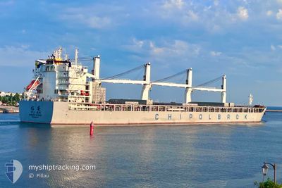
YU AN
Cargo

Current Trip
TW TXG
| Time Travelled | 7 days |
|---|---|
| Remaining Time | --- |
| Distance Travelled | 2330.69 nm |
| Remaining Distance | --- |
| AVG Speed | 13.4 Knots |
| MAX Speed | 14.9 Knots |
| AVG Wind | 11.9 knots |
| MAX Wind | 22.3 knots |
| MIN Temp | 15.1°C / 59.18°F |
| MAX Temp | 28°C / 82.4°F |
| Draught | 13.4 m |
| Position Received | 6 d ago |
Current Position
| Longitude | --- |
|---|---|
| Latitude | --- |
| Status | Under way using engine |
| Speed | 14.4 Knots |
| Course | 55.9° |
| Area | South Atlantic Ocean |
| Station | T-AIS |
| Position Received | 6 d ago |
Information
The current position of YU AN is in South Atlantic Ocean with coordinates -40.24089° / -57.73785° as reported on 2025-03-19 21:34 by AIS to our vessel tracker app. The vessel's current speed is 14.4 Knots
The vessel YU AN (IMO: 9990167, MMSI: 477928300) is a Cargo It's sailing under the flag of [HK] Hong Kong.
In this page you can find informations about the vessels current position, last detected port calls, and current voyage information. If the vessels is not in coverage by AIS you will find the latest position.
The current position of YU AN is detected by our AIS receivers and we are not responsible for the reliability of the data. The last position was recorded while the vessel was in Coverage by the Ais receivers of our vessel tracking app.
The current draught of YU AN as reported by AIS is 13.4 meters
Weather
| Temperature | 27.8°C / 82.04°F |
|---|---|
| Wind Speed | 14 knots |
| Direction | 78° ENE |
| Pressure | 1013.5 hPa |
| Humidity | 73.5 % |
| Cloud Coverage | 6 % |


Featured Company
Last Port Calls
| Port | Arrival | Departure | Time In Port |
|---|---|---|---|
| 2025-03-13 08:50 | 2025-03-18 14:16 | 5 d | |
| 2025-01-27 16:47 | 2025-02-06 14:33 | 9 d | |
| 2025-01-20 18:49 | 2025-01-26 01:29 | 5 d | |
| 2025-01-14 18:49 | 2025-01-16 07:01 | 1 d |
Last Trips
Events
| Time | Event | Details | Position / Dest | Info |
|---|---|---|---|---|
| 2025-03-19 21:42 | Status Changed | Default Under way using engine |
-40.21854 / -57.71179
TW TXG
|
Speed: 14.4 kn Course: 55.9° |
| 2025-03-19 21:34 | OUT of Coverage |
-40.24089 / -57.73785
South Atlantic Ocean
|
Speed: 14.4 kn Course: 55.9° |
|
| 2025-03-19 21:30 | Status Changed | Under way using engine Default |
-40.24915 / -57.75395
TW TXG
|
Speed: 14.4 kn Course: 56° |
| 2025-03-19 21:14 | Status Changed | Default Under way using engine |
-40.28548 / -57.82412
TW TXG
|
Speed: 14.4 kn Course: 55.4° |
| 2025-03-19 21:07 | Change Sea Area | Argentinean part of the South Atlantic Ocean Malaysian part of the South China Sea |
-40.30042 / -57.85313
South Atlantic Ocean
|
Speed: 14.4 kn Course: 55.4° |
| 2025-03-19 21:07 | Status Changed | Under way using engine Default |
-40.30042 / -57.85313
TW TXG
|
Speed: 14.5 kn Course: 56° |
| 2025-03-19 20:49 | IN Coverage |
-40.30042 / -57.85313
South Atlantic Ocean
|
Speed: 14.4 kn Course: 55.4° |
|
| 2025-03-18 17:16 | PORT DEPARTURE |
|
-42.73733 / -65.00502
TW TXG
|
Speed: 3.7 kn Course: 90° |
| 2025-03-18 17:12 | START Moving |
-42.73715 / -65.01161
[AR] PUERTO MADRYN
|
Speed: 3.7 kn Course: 90° |