
UNITED S
General Cargo
Current Trip
ALXANDRIA
| Time Travelled | 22 days |
|---|---|
| Remaining Time | --- |
| Distance Travelled | 1380.74 nm |
| Remaining Distance | --- |
| AVG Speed | 7.8 Knots |
| MAX Speed | 7.8 Knots |
| AVG Wind | 14.4 knots |
| MAX Wind | 21.5 knots |
| MIN Temp | 19.5°C / 67.1°F |
| MAX Temp | 38.1°C / 100.58°F |
| Draught | 4.7 m |
| Position Received | 1 m ago |
Current Position
| Longitude | 27.59152° |
|---|---|
| Latitude | 35.46044° |
| Status | Under way using engine |
| Speed | 7.6 Knots |
| Course | 160.5° |
| Area | Mediterranean Sea - Eastern Basin |
| Station | T-AIS |
| Position Received | 1 m ago |
Info
Information
The current position of UNITED S is in Mediterranean Sea - Eastern Basin with coordinates 35.46044° / 27.59152° as reported on 2024-08-03 03:59 by AIS to our vessel tracker app. The vessel's current speed is 7.6 Knots
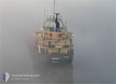
The vessel UNITED S (IMO: 7359149, MMSI: 671662000) is a General Cargo that was built in 1975 ( 49 years old ). It's sailing under the flag of [TG] Togo.
In this page you can find informations about the vessels current position, last detected port calls, and current voyage information. If the vessels is not in coverage by AIS you will find the latest position.
The current position of UNITED S is detected by our AIS receivers and we are not responsible for the reliability of the data. The last position was recorded while the vessel was in Coverage by the Ais receivers of our vessel tracking app.
The current draught of UNITED S as reported by AIS is 4.7 meters
Weather
| Temperature | 26.4°C / 79.52°F |
|---|---|
| Wind Speed | 17 knots |
| Direction | 311° NW |
| Pressure | 1004.2 hPa |
| Humidity | 63 % |
| Cloud Coverage | --- |
Featured Company
Events
| Time | Event | Details | Position / Dest | Info |
|---|---|---|---|---|
| 2024-08-03 01:41 | Change Sea Area | Greek part of the Mediterranean Sea - Eastern Basin Greek part of the Aegean Sea |
35.72974 / 27.45247
Mediterranean Sea - Eastern Basin
ALXANDRIA
|
Speed: 7.5 kn Course: 157.6° |
| 2024-08-02 12:08 | ETA Changed | 2024/08/04 16:00 2024/08/04 07:00 |
37.17599 / 26.36336
ALXANDRIA
|
Speed: 7.8 kn Course: 127.3° |
| 2024-08-01 14:55 | Status Changed | Under way using engine Default |
39.60715 / 25.80542
ALXANDRIA
|
Speed: 7.9 kn Course: 187° |
| 2024-08-01 14:11 | Status Changed | Default Under way using engine |
39.70224 / 25.82334
ALXANDRIA
|
Speed: 7.7 kn Course: 185.3° |
| 2024-08-01 14:01 | Change Sea Area | Greek part of the Aegean Sea Turkish part of the Aegean Sea |
39.72471 / 25.82538
Aegean Sea
ALXANDRIA
|
Speed: 7.6 kn Course: 183.2° |
| 2024-08-01 14:01 | Status Changed | Under way using engine Default |
39.72471 / 25.82538
ALXANDRIA
|
Speed: 7.2 kn Course: 179° |
| 2024-08-01 13:50 | IN Coverage |
39.72471 / 25.82538
Aegean Sea
ALXANDRIA
|
Speed: 7.6 kn Course: 183.2° |
|
| 2024-08-01 12:28 | Status Changed | Default Under way using engine |
39.92582 / 25.91034
ALXANDRIA
|
Speed: 9.3 kn Course: 217.7° |
| 2024-08-01 12:27 | OUT of Coverage |
39.92730 / 25.91174
Aegean Sea
ALXANDRIA
|
Speed: 9.3 kn Course: 217.7° |
|
| 2024-08-01 10:56 | Change Sea Area | Turkish part of the Aegean Sea Turkish part of the Sea of Marmara |
40.03212 / 26.17421
Aegean Sea
ALXANDRIA
|
Speed: 10.3 kn Course: 262.3° |