

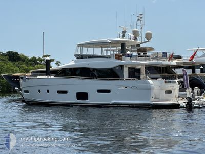
RAINBOW GODDESS
Pleasure Craft

Current Trip
Unknown
| Time Travelled | 3 days |
|---|---|
| Remaining Time | --- |
| Distance Travelled | 2.11 nm |
| Remaining Distance | --- |
| AVG Speed | 6.1 Knots |
| MAX Speed | 7.2 Knots |
| AVG Wind | 11.8 knots |
| MAX Wind | 12.1 knots |
| MIN Temp | 25.1°C / 77.18°F |
| MAX Temp | 25.3°C / 77.54°F |
| Draught | --- |
| Position Received | 3 d ago |
Current Position
| Longitude | --- |
|---|---|
| Latitude | --- |
| Status | Default |
| Speed | |
| Course | --- |
| Area | North Atlantic Ocean |
| Station | T-AIS |
| Position Received | 3 d ago |
Information
The current position of RAINBOW GODDESS is in North Atlantic Ocean with coordinates 25.73555° / -80.22042° as reported on 2025-02-14 23:35 by AIS to our vessel tracker app. The vessel's current speed is 0 Knots
The vessel RAINBOW GODDESS (MMSI: 305005000) is a Pleasure Craft It's sailing under the flag of [AG] Antigua Barbuda.
In this page you can find informations about the vessels current position, last detected port calls, and current voyage information. If the vessels is not in coverage by AIS you will find the latest position.
The current position of RAINBOW GODDESS is detected by our AIS receivers and we are not responsible for the reliability of the data. The last position was recorded while the vessel was in Coverage by the Ais receivers of our vessel tracking app.
Weather
| Temperature | 25.3°C / 77.54°F |
|---|---|
| Wind Speed | 12 knots |
| Direction | 78° ENE |
| Pressure | 1023.8 hPa |
| Humidity | 67.2 % |
| Cloud Coverage | --- |


Featured Company
Most Visited Ports (Last year)
| Port | Arrivals | |
|---|---|---|
| 17 |
Events
| Time | Event | Details | Position / Dest | Info |
|---|---|---|---|---|
| 2025-02-14 23:35 | OUT of Coverage |
25.73555 / -80.22042
North Atlantic Ocean
|
Speed: Course: 511° |
|
| 2025-02-14 23:06 | STOP Moving | 3.41 nm, South West of MIAMI |
25.73555 / -80.22044
|
Speed: 0.3 kn Course: 511° |
| 2025-02-14 22:41 | PORT DEPARTURE |
|
25.73815 / -80.18973
|
Speed: 7.8 kn Course: 241.2° |
| 2025-02-14 22:30 | START Moving |
25.74705 / -80.17207
[US] MIAMI
|
Speed: 5.2 kn Course: 251.6° |
|
| 2025-02-14 18:49 | STOP Moving |
25.74822 / -80.17009
[US] MIAMI
|
Speed: Course: 511° |
|
| 2025-02-14 18:31 | PORT ARRIVAL |
|
25.73942 / -80.18801
[US] MIAMI
|
Speed: 8 kn Course: 50.3° |
| 2025-02-14 18:10 | START Moving | 3.3 nm, South West of MIAMI |
25.73738 / -80.21916
|
Speed: 6.1 kn Course: 55.6° |
| 2025-02-13 22:28 | IN Coverage |
25.73555 / -80.22040
North Atlantic Ocean
|
Speed: Course: 511° |
|
| 2025-02-08 15:51 | OUT of Coverage |
25.73559 / -80.22042
North Atlantic Ocean
|
Speed: Course: 511° |
|
| 2025-02-08 11:27 | Status Changed | Default Under way using engine |
25.73555 / -80.22040
|
Speed: Course: 511° |