
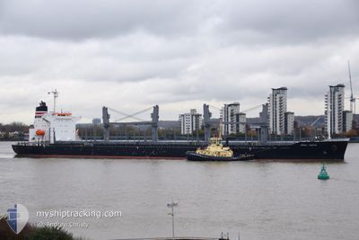
NORD TOKYO
Cargo
Current Trip
| Time Travelled | 5 days |
|---|---|
| Remaining Time | --- |
| Distance Travelled | 1215.23 nm |
| Remaining Distance | --- |
| AVG Speed | 11.8 Knots |
| MAX Speed | 15 Knots |
| AVG Wind | 10.3 knots |
| MAX Wind | 18 knots |
| MIN Temp | 10.2°C / 50.36°F |
| MAX Temp | 22.8°C / 73.04°F |
| Draught | 8 m |
| Position Received | 5 d ago |
Current Position
| Longitude | 136.98331° |
|---|---|
| Latitude | 34.62949° |
| Status | Under way using engine |
| Speed | 11.3 Knots |
| Course | 228.7° |
| Area | Philippine Sea |
| Station | T-AIS |
| Position Received | 5 d ago |
Info
Information
The current position of NORD TOKYO is in Philippine Sea with coordinates 34.62949° / 136.98331° as reported on 2024-04-26 05:31 by AIS to our vessel tracker app. The vessel's current speed is 11.3 Knots and is heading at the port of ZHANGJIAGANG. The estimated time of arrival as calculated by MyShipTracking vessel tracking app is 2024-04-29 05:00 LT
The vessel NORD TOKYO (IMO: 9959448, MMSI: 352002754) is a Cargo It's sailing under the flag of [PA] Panama.
In this page you can find informations about the vessels current position, last detected port calls, and current voyage information. If the vessels is not in coverage by AIS you will find the latest position.
The current position of NORD TOKYO is detected by our AIS receivers and we are not responsible for the reliability of the data. The last position was recorded while the vessel was in Coverage by the Ais receivers of our vessel tracking app.
The current draught of NORD TOKYO as reported by AIS is 8 meters
Weather
| Temperature | 15.2°C / 59.36°F |
|---|---|
| Wind Speed | 8 knots |
| Direction | 65° ENE |
| Pressure | 1015.4 hPa |
| Humidity | 91.1 % |
| Cloud Coverage | 100 % |
Featured Company
Most Visited Ports (Last year)
| Port | Arrivals | |
|---|---|---|
| 2 | ||
| 1 | ||
| 1 | ||
| 1 | ||
| 1 | ||
| 1 |
Events
| Time | Event | Details | Position / Dest | Info |
|---|---|---|---|---|
| 2024-05-01 02:08 | START Moving | 0.85 nm, South East of ZHANGJIAGANG |
31.97020 / 120.42741
CN ZJG
|
Speed: 8.8 kn Course: 81° |
| 2024-04-29 16:38 | STOP Moving | 0.48 nm, South of ZHANGJIAGANG |
31.96801 / 120.41430
CN ZJG
|
Speed: Course: 268° |
| 2024-04-29 02:40 | START Moving |
31.14864 / 122.59431
CN ZJG
|
Speed: 3.8 kn Course: 265° |
|
| 2024-04-29 00:35 | STOP Moving |
31.14640 / 122.61112
CN ZJG
|
Speed: 0.1 kn Course: 306° |
|
| 2024-04-26 05:36 | Status Changed | Default Under way using engine |
34.61541 / 136.97244
CN ZJG
|
Speed: 11.3 kn Course: 228.7° |
| 2024-04-26 05:31 | OUT of Coverage |
34.62949 / 136.98331
Philippine Sea
CN ZJG
|
Speed: 11.3 kn Course: 228.7° |
|
| 2024-04-26 05:14 | Draught Changed | 8 9 |
34.66374 / 137.04239
CN ZJG
|
Speed: 12.6 kn Course: 234.6° |
| 2024-04-26 05:14 | Destination Changed | CN ZJG JP THS |
34.66374 / 137.04239
CN ZJG
|
Speed: 12.6 kn Course: 234.6° |
| 2024-04-26 05:14 | ETA Changed | 2024/04/29 05:00 2024/04/20 22:30 |
34.66374 / 137.04239
CN ZJG
|
Speed: 12.6 kn Course: 234.6° |
| 2024-04-26 05:07 | Status Changed | Under way using engine Default |
34.67679 / 137.06557
JP THS
|
Speed: 12.5 kn Course: 237° |