

ND ARISTEIA
Cargo

Current Trip
CN NBG
| Time Travelled | 30 days |
|---|---|
| Remaining Time | --- |
| Distance Travelled | 5597.58 nm |
| Remaining Distance | --- |
| AVG Speed | 9.7 Knots |
| MAX Speed | 14 Knots |
| AVG Wind | 13.3 knots |
| MAX Wind | 32 knots |
| MIN Temp | 0.5°C / 32.9°F |
| MAX Temp | 28.6°C / 83.48°F |
| Draught | 12.5 m |
| Position Received | 9 h, 5 m ago |
Current Position
| Longitude | --- |
|---|---|
| Latitude | --- |
| Status | Under way using engine |
| Speed | 12 Knots |
| Course | 4.5° |
| Area | Japan Sea |
| Station | T-AIS |
| Position Received | 9 h, 5 m ago |
Information
The current position of ND ARISTEIA is in Japan Sea with coordinates 35.11702° / 129.40089° as reported on 2025-02-20 07:43 by AIS to our vessel tracker app. The vessel's current speed is 12 Knots
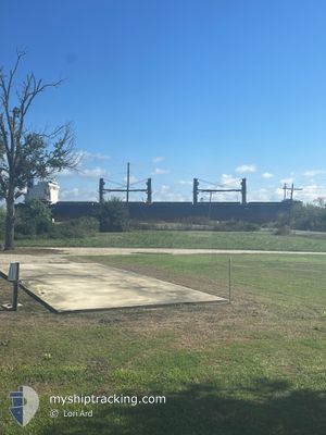
The vessel ND ARISTEIA (IMO: 9788681, MMSI: 538008453) is a Cargo It's sailing under the flag of [MH] Marshall Is.
In this page you can find informations about the vessels current position, last detected port calls, and current voyage information. If the vessels is not in coverage by AIS you will find the latest position.
The current position of ND ARISTEIA is detected by our AIS receivers and we are not responsible for the reliability of the data. The last position was recorded while the vessel was in Coverage by the Ais receivers of our vessel tracking app.
The current draught of ND ARISTEIA as reported by AIS is 12.5 meters
Weather
| Temperature | 0.3°C / 32.54°F |
|---|---|
| Wind Speed | 15 knots |
| Direction | 311° NW |
| Pressure | 1028.4 hPa |
| Humidity | 46.4 % |
| Cloud Coverage | 100 % |


Featured Company
Events
| Time | Event | Details | Position / Dest | Info |
|---|---|---|---|---|
| 2025-02-20 10:12 | STOP Moving | 3.76 nm, South East of ONSAN |
35.40139 / 129.44070
CN NBG
|
Speed: 0.3 kn Course: 356° |
| 2025-02-20 07:49 | Status Changed | Default Under way using engine |
35.13703 / 129.40216
CN NBG
|
Speed: 12 kn Course: 4.5° |
| 2025-02-20 07:43 | Status Changed | Under way using engine Default |
35.11702 / 129.40089
CN NBG
|
Speed: 11.9 kn Course: 8° |
| 2025-02-20 07:43 | OUT of Coverage |
35.11702 / 129.40089
Japan Sea
|
Speed: 12 kn Course: 4.5° |
|
| 2025-02-20 07:29 | Status Changed | Default Under way using engine |
35.07044 / 129.39381
CN NBG
|
Speed: 11.9 kn Course: 12.1° |
| 2025-02-20 07:26 | Status Changed | Under way using engine Default |
35.05905 / 129.39175
CN NBG
|
Speed: 11.8 kn Course: 15° |
| 2025-02-20 07:21 | Status Changed | Default Under way using engine |
35.04525 / 129.38733
CN NBG
|
Speed: 11.9 kn Course: 13.8° |
| 2025-02-20 07:14 | Status Changed | Under way using engine Default |
35.02168 / 129.38009
CN NBG
|
Speed: 11.6 kn Course: 12° |
| 2025-02-20 07:05 | Status Changed | Default Under way using engine |
34.99441 / 129.37138
CN NBG
|
Speed: 11.7 kn Course: 27.1° |
| 2025-02-20 07:00 | Status Changed | Under way using engine Default |
34.97949 / 129.36329
CN NBG
|
Speed: 11.8 kn Course: 28° |