
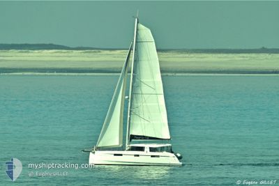
NAUGHTY CAT
Sailing
Current Trip
Unknown
| Time Travelled | 31 days |
|---|---|
| Remaining Time | --- |
| Distance Travelled | 60.67 nm |
| Remaining Distance | --- |
| AVG Speed | 4.3 Knots |
| MAX Speed | 6.1 Knots |
| AVG Wind | 3.6 knots |
| MAX Wind | 13 knots |
| MIN Temp | 13.4°C / 56.12°F |
| MAX Temp | 20.1°C / 68.18°F |
| Draught | 0 m |
| Position Received | 7 d ago |
Current Position
| Longitude | 20.30682° |
|---|---|
| Latitude | 39.28343° |
| Status | Default |
| Speed | 5.8 Knots |
| Course | 138.4° |
| Area | Ionian Sea |
| Station | T-AIS |
| Position Received | 7 d ago |
Info
Information
The current position of NAUGHTY CAT is in Ionian Sea with coordinates 39.28343° / 20.30682° as reported on 2024-05-13 14:24 by AIS to our vessel tracker app. The vessel's current speed is 5.8 Knots
The vessel NAUGHTY CAT (MMSI: 232026347) is a Sailing It's sailing under the flag of [GB] United Kingdom.
In this page you can find informations about the vessels current position, last detected port calls, and current voyage information. If the vessels is not in coverage by AIS you will find the latest position.
The current position of NAUGHTY CAT is detected by our AIS receivers and we are not responsible for the reliability of the data. The last position was recorded while the vessel was in Coverage by the Ais receivers of our vessel tracking app.
Weather
| Temperature | 20.1°C / 68.18°F |
|---|---|
| Wind Speed | 8 knots |
| Direction | 281° W |
| Pressure | 1015.6 hPa |
| Humidity | 64 % |
| Cloud Coverage | 66 % |
Featured Company
Last Port Calls
| Port | Arrival | Departure | Time In Port |
|---|---|---|---|
| 2024-04-27 06:00 | |||
| 2024-04-19 09:35 | |||
| 2024-04-08 14:56 | 2024-04-09 03:31 | 12 h | |
| 2024-04-08 10:56 |
Last Trips
| Origin | Departure | Destination | Arrival | Distance | |
|---|---|---|---|---|---|
| 2024-04-19 12:35 | 2024-04-27 09:00 | 13.55 nm | |||
| 2024-04-08 12:56 | 2024-04-08 16:56 | 10.45 nm |
Events
| Time | Event | Details | Position / Dest | Info |
|---|---|---|---|---|
| 2024-05-13 14:24 | OUT of Coverage |
39.28343 / 20.30682
Ionian Sea
|
Speed: 5.8 kn Course: 138.4° |
|
| 2024-05-13 12:43 | START Moving | 0.3 nm, West of MOURTOS |
39.40091 / 20.22921
|
Speed: 4.2 kn Course: 210.4° |
| 2024-05-13 12:33 | IN Coverage |
39.40538 / 20.23169
Ionian Sea
|
Speed: 2.2 kn Course: 195.1° |
|
| 2024-05-12 16:08 | OUT of Coverage |
39.42940 / 20.21132
Ionian Sea
|
Speed: 5 kn Course: 144.3° |
|
| 2024-05-12 12:29 | Change Sea Area | Greek part of the Ionian Sea Albanian part of the Ionian Sea |
39.66420 / 20.00093
Ionian Sea
|
Speed: 4.4 kn Course: 147.8° |
| 2024-05-12 11:42 | Detected in Sea | Albanian part of the Ionian Sea |
39.70297 / 19.96853
Ionian Sea
|
Speed: 4 kn Course: 169.9° |
| 2024-05-12 11:08 | Change Sea Area | Albanian part of the Adriatic Sea Greek part of the Adriatic Sea |
39.74511 / 19.95922
Adriatic Sea
|
Speed: 4.5 kn Course: 171.1° |
| 2024-05-12 10:09 | Detected in Sea | Greek part of the Adriatic Sea |
39.79207 / 19.93508
Adriatic Sea
|
Speed: 3.5 kn Course: 102.8° |
| 2024-05-12 10:09 | IN Coverage |
39.79207 / 19.93508
Adriatic Sea
|
Speed: 3.5 kn Course: 102.8° |