

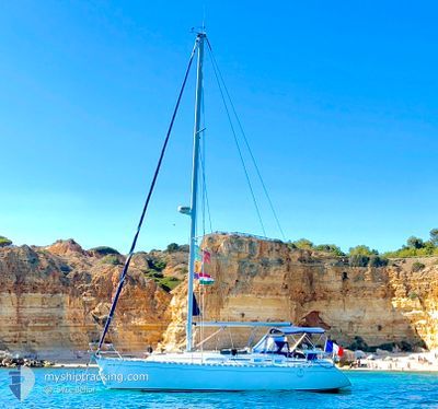
LE BEFLOR
Sailing

Current Trip
Unknown
| Time Travelled | --- |
|---|---|
| Remaining Time | --- |
| Distance Travelled | 0.29 nm |
| Remaining Distance | --- |
| AVG Speed | 4 Knots |
| MAX Speed | 4.3 Knots |
| AVG Wind | 12 knots |
| MAX Wind | 12 knots |
| MIN Temp | 26.5°C / 79.7°F |
| MAX Temp | 26.5°C / 79.7°F |
| Draught | --- |
| Position Received | 1 d ago |
Current Position
| Longitude | --- |
|---|---|
| Latitude | --- |
| Status | Default |
| Speed | 2.7 Knots |
| Course | 196° |
| Area | Caribbean Sea |
| Station | T-AIS |
| Position Received | 1 d ago |
Information
The current position of LE BEFLOR is in Caribbean Sea with coordinates 12.04378° / -61.74684° as reported on 2025-03-23 20:00 by AIS to our vessel tracker app. The vessel's current speed is 2.7 Knots
The vessel LE BEFLOR (MMSI: 232045940) is a Sailing It's sailing under the flag of [GB] United Kingdom.
In this page you can find informations about the vessels current position, last detected port calls, and current voyage information. If the vessels is not in coverage by AIS you will find the latest position.
The current position of LE BEFLOR is detected by our AIS receivers and we are not responsible for the reliability of the data. The last position was recorded while the vessel was in Coverage by the Ais receivers of our vessel tracking app.
Weather
| Temperature | 25.7°C / 78.26°F |
|---|---|
| Wind Speed | 14 knots |
| Direction | 84° E |
| Pressure | 1014 hPa |
| Humidity | 78.1 % |
| Cloud Coverage | 75 % |


Featured Company
Last Port Calls
Most Visited Ports (Last year)
| Port | Arrivals | |
|---|---|---|
| 19 | ||
| 1 |
Last Trips
| Origin | Departure | Destination | Arrival | Distance |
|---|
Events
| Time | Event | Details | Position / Dest | Info |
|---|---|---|---|---|
| 2025-03-23 20:00 | OUT of Coverage |
12.04378 / -61.74684
Caribbean Sea
|
Speed: 2.7 kn Course: 196.2° |
|
| 2025-03-23 19:14 | IN Coverage |
12.08790 / -61.76439
Caribbean Sea
|
Speed: 5.6 kn Course: 199.7° |
|
| 2025-03-22 15:55 | OUT of Coverage |
12.48741 / -61.48570
Caribbean Sea
|
Speed: 6.5 kn Course: 205° |
|
| 2025-03-22 15:55 | Detected in Sea | Grenadian part of the Caribbean Sea |
12.48741 / -61.48570
Caribbean Sea
|
Speed: 6.5 kn Course: 205° |
| 2025-03-22 15:55 | IN Coverage |
12.48741 / -61.48570
Caribbean Sea
|
Speed: 6.5 kn Course: 205° |
|
| 2025-03-22 14:30 | OUT of Coverage |
12.57700 / -61.43909
Caribbean Sea
|
Speed: 4.8 kn Course: 317.6° |
|
| 2025-03-22 13:50 | Change Sea Area | Saint Vincent and the Grenadines part of the Caribbean Sea Spanish (Canary Islands) part of the North Atlantic Ocean |
12.60794 / -61.40304
Caribbean Sea
|
Speed: 5.3 kn Course: 175.5° |
| 2025-03-22 13:50 | IN Coverage |
12.60794 / -61.40304
Caribbean Sea
|
Speed: 5.3 kn Course: 175.5° |