

KEN OH
Cargo

Current Trip
| Time Travelled | 9 days |
|---|---|
| Remaining Time | --- |
| Distance Travelled | 845.16 nm |
| Remaining Distance | --- |
| AVG Speed | 12.5 Knots |
| MAX Speed | 14.2 Knots |
| AVG Wind | 17 knots |
| MAX Wind | 28 knots |
| MIN Temp | 14.6°C / 58.28°F |
| MAX Temp | 21.1°C / 69.98°F |
| Draught | 7.2 m |
| Position Received | 3 d ago |
Current Position
| Longitude | --- |
|---|---|
| Latitude | --- |
| Status | Under way using engine |
| Speed | 11.6 Knots |
| Course | 261.4° |
| Area | South Pacific Ocean |
| Station | T-AIS |
| Position Received | 3 d ago |
Information
The current position of KEN OH is in South Pacific Ocean with coordinates -44.23535° / 172.49078° as reported on 2025-03-23 07:34 by AIS to our vessel tracker app. The vessel's current speed is 11.6 Knots
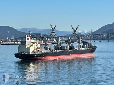
The vessel KEN OH (IMO: 1041946, MMSI: 352004896) is a Cargo It's sailing under the flag of [PA] Panama.
In this page you can find informations about the vessels current position, last detected port calls, and current voyage information. If the vessels is not in coverage by AIS you will find the latest position.
The current position of KEN OH is detected by our AIS receivers and we are not responsible for the reliability of the data. The last position was recorded while the vessel was in Coverage by the Ais receivers of our vessel tracking app.
The current draught of KEN OH as reported by AIS is 7.2 meters
Weather
| Temperature | 14.6°C / 58.28°F |
|---|---|
| Wind Speed | 13 knots |
| Direction | 180° S |
| Pressure | 1014.7 hPa |
| Humidity | 96.3 % |
| Cloud Coverage | 100 % |


Featured Company
Events
| Time | Event | Details | Position / Dest | Info |
|---|---|---|---|---|
| 2025-03-23 07:34 | OUT of Coverage |
-44.23535 / 172.49078
South Pacific Ocean
NZ TIU
|
Speed: 11.6 kn Course: 261.4° |
|
| 2025-03-23 06:39 | IN Coverage |
-44.20760 / 172.73914
South Pacific Ocean
NZ TIU
|
Speed: 12 kn Course: 258° |
|
| 2025-03-22 19:10 | OUT of Coverage |
-42.43014 / 174.28380
South Pacific Ocean
NZ TIU
|
Speed: 11.5 kn Course: 207° |
|
| 2025-03-22 15:31 | Change Sea Area | New Zealand part of the South Pacific Ocean New Zealand part of the Tasman Sea |
-41.70348 / 174.62976
South Pacific Ocean
NZ TIU
|
Speed: 13.4 kn Course: 162.9° |
| 2025-03-22 07:53 | Destination Changed | NZ TIU NZ NPL |
-40.15538 / 174.00274
NZ TIU
|
Speed: 13.3 kn Course: 160.1° |
| 2025-03-22 07:53 | ETA Changed | 2025/03/23 12:00 2025/03/19 19:00 |
-40.15538 / 174.00274
NZ TIU
|
Speed: 13.3 kn Course: 160.1° |
| 2025-03-22 06:14 | IN Coverage |
-39.81725 / 173.83145
Tasman Sea
|
Speed: 13.4 kn Course: 153.4° |
|
| 2025-03-22 03:34 | OUT of Coverage |
-39.25411 / 173.60681
Tasman Sea
|
Speed: 13.1 kn Course: 188.6° |
|
| 2025-03-22 01:28 | Detected in Sea | New Zealand part of the Tasman Sea |
-39.01293 / 174.01892
Tasman Sea
|
Speed: 10.9 kn Course: 278.5° |
| 2025-03-22 01:28 | IN Coverage |
-39.01293 / 174.01892
Tasman Sea
|
Speed: 10.9 kn Course: 278.5° |