

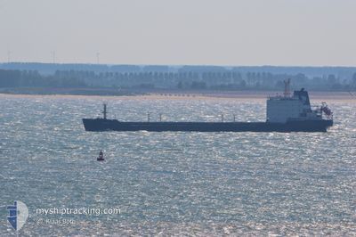
GRUMANT
Bulk Carrier

Current Trip
| Time Travelled | --- |
|---|---|
| Remaining Time | --- |
| Distance Travelled | 434.94 nm |
| Remaining Distance | --- |
| AVG Speed | 7.6 Knots |
| MAX Speed | 9.5 Knots |
| AVG Wind | 10.1 knots |
| MAX Wind | 17 knots |
| MIN Temp | 8.1°C / 46.58°F |
| MAX Temp | 20.2°C / 68.36°F |
| Draught | 9.5 m |
| Position Received | 1 m ago |
Current Position
| Longitude | --- |
|---|---|
| Latitude | --- |
| Status | Under way using engine |
| Speed | 7.9 Knots |
| Course | 172.4° |
| Area | Aegean Sea |
| Station | T-AIS |
| Position Received | 1 m ago |
Information
The current position of GRUMANT is in Aegean Sea with coordinates 38.18745° / 25.73097° as reported on 2025-03-26 01:49 by AIS to our vessel tracker app. The vessel's current speed is 7.9 Knots and is heading at the port of AQABA. The estimated time of arrival as calculated by MyShipTracking vessel tracking app is 2025-04-05 03:01 LT
The vessel GRUMANT (IMO: 9385879, MMSI: 273318940) is a Bulk Carrier that was built in 2006 ( 19 years old ). It's sailing under the flag of [RU] Russia.
In this page you can find informations about the vessels current position, last detected port calls, and current voyage information. If the vessels is not in coverage by AIS you will find the latest position.
The current position of GRUMANT is detected by our AIS receivers and we are not responsible for the reliability of the data. The last position was recorded while the vessel was in Coverage by the Ais receivers of our vessel tracking app.
The current draught of GRUMANT as reported by AIS is 9.5 meters
Weather
| Temperature | 16.2°C / 61.16°F |
|---|---|
| Wind Speed | 6 knots |
| Direction | 134° SE |
| Pressure | 1018.1 hPa |
| Humidity | 78.7 % |
| Cloud Coverage | 100 % |


Featured Company
Last Port Calls
| Port | Arrival | Departure | Time In Port |
|---|---|---|---|
| 2025-01-13 17:33 | 2025-01-18 07:38 | 4 d | |
| 2025-01-10 22:35 | 2025-01-11 15:36 | 17 h |
Most Visited Ports (Last year)
| Port | Arrivals | |
|---|---|---|
| 2 |
Last Trips
| Origin | Departure | Destination | Arrival | Distance | |
|---|---|---|---|---|---|
| 2025-01-11 15:36 | 2025-01-13 17:33 | 15.92 nm |
Events
| Time | Event | Details | Position / Dest | Info |
|---|---|---|---|---|
| 2025-03-26 00:17 | Status Changed | Under way using engine Default |
38.38914 / 25.71969
AQABA JORDAN
|
Speed: 7.7 kn Course: 180° |
| 2025-03-25 23:53 | Status Changed | Default Under way using engine |
38.44129 / 25.72027
AQABA JORDAN
|
Speed: 7.7 kn Course: 179.8° |
| 2025-03-25 12:41 | Detected in Sea | Greek part of the Aegean Sea |
39.85791 / 25.86657
Aegean Sea
AQABA JORDAN
|
Speed: 7.7 kn Course: 204.7° |
| 2025-03-25 12:41 | Status Changed | Under way using engine Default |
39.85791 / 25.86657
AQABA JORDAN
|
Speed: 7.6 kn Course: 202° |
| 2025-03-25 12:28 | Status Changed | Default Under way using engine |
39.88341 / 25.88143
AQABA JORDAN
|
Speed: 7.5 kn Course: 203.3° |
| 2025-03-25 12:07 | Status Changed | Under way using engine Default |
39.92268 / 25.90496
AQABA JORDAN
|
Speed: 7.5 kn Course: 225° |
| 2025-03-25 12:07 | IN Coverage |
39.91884 / 25.90204
Aegean Sea
AQABA JORDAN
|
Speed: 7.3 kn Course: 208.1° |
|
| 2025-03-25 10:54 | Status Changed | Default Under way using engine |
40.01420 / 26.06232
AQABA JORDAN
|
Speed: 8.5 kn Course: 258° |
| 2025-03-25 10:47 | Change Sea Area | Turkish part of the Aegean Sea Turkish part of the Sea of Marmara |
40.01687 / 26.08321
Aegean Sea
AQABA JORDAN
|
Speed: 8.5 kn Course: 258° |
| 2025-03-25 10:47 | OUT of Coverage |
40.01687 / 26.08321
Aegean Sea
AQABA JORDAN
|
Speed: 8.5 kn Course: 258° |