
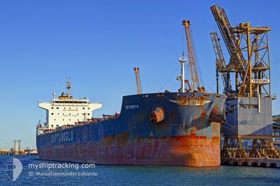
GLOBE ELECTRA
Bulk Carrier
Current Trip
| Time Travelled | 3 days |
|---|---|
| Remaining Time | --- |
| Distance Travelled | 750.41 nm |
| Remaining Distance | --- |
| AVG Speed | 9.7 Knots |
| MAX Speed | 10.9 Knots |
| AVG Wind | 12.6 knots |
| MAX Wind | 19.4 knots |
| MIN Temp | 21.7°C / 71.06°F |
| MAX Temp | 26.8°C / 80.24°F |
| Draught | 13.5 m |
| Position Received | 2 d ago |
Current Position
| Longitude | -46.42207° |
|---|---|
| Latitude | -24.23703° |
| Status | Under way using engine |
| Speed | 8.4 Knots |
| Course | 154° |
| Area | South Atlantic Ocean |
| Station | T-AIS |
| Position Received | 2 d ago |
Info
Information
The current position of GLOBE ELECTRA is in South Atlantic Ocean with coordinates -24.23703° / -46.42207° as reported on 2024-05-13 07:01 by AIS to our vessel tracker app. The vessel's current speed is 8.4 Knots and is heading at the port of SINGAPORE. The estimated time of arrival as calculated by MyShipTracking vessel tracking app is 2024-06-14 12:09 LT
The vessel GLOBE ELECTRA (IMO: 9483827, MMSI: 538003822) is a Bulk Carrier that was built in 2010 ( 14 years old ). It's sailing under the flag of [MH] Marshall Is.
In this page you can find informations about the vessels current position, last detected port calls, and current voyage information. If the vessels is not in coverage by AIS you will find the latest position.
The current position of GLOBE ELECTRA is detected by our AIS receivers and we are not responsible for the reliability of the data. The last position was recorded while the vessel was in Coverage by the Ais receivers of our vessel tracking app.
The current draught of GLOBE ELECTRA as reported by AIS is 13.5 meters
Weather
| Temperature | 23.4°C / 74.12°F |
|---|---|
| Wind Speed | 17 knots |
| Direction | 253° WSW |
| Pressure | 1015.7 hPa |
| Humidity | 56 % |
| Cloud Coverage | 77 % |
Featured Company
Events
| Time | Event | Details | Position / Dest | Info |
|---|---|---|---|---|
| 2024-05-13 07:05 | Status Changed | Default Under way using engine |
-24.24625 / -46.41478
SINGAPORE
|
Speed: 8.4 kn Course: 154° |
| 2024-05-13 07:01 | OUT of Coverage |
-24.23703 / -46.42207
South Atlantic Ocean
|
Speed: 8.4 kn Course: 154° |
|
| 2024-05-13 06:15 | Draught Changed | 13.5 7 |
-24.12013 / -46.38648
SINGAPORE
|
Speed: 8.2 kn Course: 200° |
| 2024-05-13 06:15 | Destination Changed | SINGAPORE BRSSZ |
-24.12013 / -46.38648
SINGAPORE
|
Speed: 8.2 kn Course: 200° |
| 2024-05-13 06:15 | ETA Changed | 2024/06/14 12:09 2024/05/11 07:00 |
-24.12013 / -46.38648
SINGAPORE
|
Speed: 8.2 kn Course: 200° |
| 2024-05-13 06:04 | Status Changed | Under way using engine Default |
-24.09118 / -46.37473
BRSSZ
|
Speed: 7.9 kn Course: 194° |
| 2024-05-13 06:04 | IN Coverage |
-24.09508 / -46.37572
South Atlantic Ocean
|
Speed: 8.3 kn Course: 192° |
|
| 2024-05-13 05:29 | PORT DEPARTURE |
|
-24.01075 / -46.33904
BRSSZ
|
Speed: 7 kn Course: 206° |
| 2024-05-13 05:05 | Status Changed | Default Under way using engine |
-23.99053 / -46.29467
[BR] SANTOS
|
Speed: 2.7 kn Course: 204° |
| 2024-05-13 05:01 | OUT of Coverage |
-23.98655 / -46.29125
South Atlantic Ocean
|
Speed: 2.7 kn Course: 189° |