
NILOS
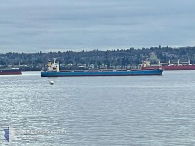
Bulk Carrier
Current Trip
| Time Travelled | 5 days |
|---|---|
| Remaining Time | --- |
| Distance Travelled | 1107.99 nm |
| Remaining Distance | --- |
| AVG Speed | 10.6 Knop |
| MAX Speed | 14.3 Knop |
| AVG Wind | 5.8 knots |
| MAX Wind | 23 knots |
| MIN Temp | 7.9°C / 46.22°F |
| MAX Temp | 17.3°C / 63.14°F |
| Djupgående | 7.2 m |
| Position mottagen | 1 h, 16 m sen |
Current Position
| Longitud | --- |
|---|---|
| Latitude | --- |
| Status | Under way using engine |
| Fart | 12.9 Knop |
| Kurs | 6.1° |
| Område | North Atlantic Ocean |
| Station | T-AIS |
| Position mottagen | 1 h, 16 m sen |
Info
Information
The current position of NILOS is in North Atlantic Ocean with coordinates 41.39149° / -9.85142° as reported on 2025-02-17 13:54 by AIS to our vessel tracker app. The vessel's current speed is 12.9 Knop and is heading at the port of SKAGEN. The estimated time of arrival as calculated by MyShipTracking vessel tracking app is 2025-02-21 23:00 LT
The vessel NILOS (IMO: 9311153, MMSI: 256683000) is a Bulk Carrier that was built in 2006 ( 19 År gammal ). It's sailing under the flag of [MT] Malta.
In this page you can find informations about the vessels current position, last detected port calls, and current voyage information. If the vessels is not in coverage by AIS you will find the latest position.
The current position of NILOS is detected by our AIS receivers and we are not responsible for the reliability of the data. The last position was recorded while the vessel was in Coverage by the Ais receivers of our vessel tracking app.
The current draught of NILOS as reported by AIS is 7.2 meters
Weather
| Temperature | 13.4°C / 56.12°F |
|---|---|
| Wind Speed | 18 knots |
| Direction | 162° SSE |
| Pressure | 1013 hPa |
| Humidity | 81.3 % |
| Cloud Coverage | 100 % |
Featured Company
Most Visited Ports (Last year)
| Port | Arrivals | |
|---|---|---|
| 1 | ||
| 1 | ||
| 1 | ||
| 1 | ||
| 1 | ||
| 1 |
Events
| Tid | Event | Detaljer | Position / Dest | Information |
|---|---|---|---|---|
| 2025-02-17 13:54 | Status ändrad | Default Under way using engine |
41.39190 / -9.85137
SKAGEN FOR ORDERS
|
Fart: 12.9 kn Kurs: 6.1° |
| 2025-02-17 13:54 | UTANFÖR täckningsområde |
41.39149 / -9.85142
North Atlantic Ocean
SKAGEN FOR ORDERS
|
Fart: 12.9 kn Kurs: 6.1° |
|
| 2025-02-17 13:11 | Destination ändrad | SKAGEN FOR ORDERS SKAW |
41.24782 / -9.85589
SKAGEN FOR ORDERS
|
Fart: 11.1 kn Kurs: 310.4° |
| 2025-02-17 11:29 | Status ändrad | Under way using engine Default |
40.90190 / -9.84732
SKAW
|
Fart: 13.6 kn Kurs: 7° |
| 2025-02-17 11:09 | Status ändrad | Default Under way using engine |
40.82775 / -9.85711
SKAW
|
Fart: 13.4 kn Kurs: 5.8° |
| 2025-02-17 10:32 | Status ändrad | Under way using engine Default |
40.69045 / -9.87341
SKAW
|
Fart: 13.4 kn Kurs: 3° |
| 2025-02-17 10:29 | Status ändrad | Default Under way using engine |
40.67793 / -9.87489
SKAW
|
Fart: 13.4 kn Kurs: 5° |
| 2025-02-17 09:53 | Status ändrad | Under way using engine Default |
40.54596 / -9.89240
SKAW
|
Fart: 13.1 kn Kurs: 7° |
| 2025-02-17 09:45 | Status ändrad | Default Under way using engine |
40.51831 / -9.89644
SKAW
|
Fart: 13.4 kn Kurs: 5.3° |
| 2025-02-17 09:41 | Status ändrad | Under way using engine Default |
40.50112 / -9.89904
SKAW
|
Fart: 13.6 kn Kurs: 7° |