
ERTEA
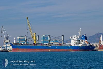
Bulk Carrier
Current Trip
| Time Travelled | 20 days |
|---|---|
| Remaining Time | 7 days |
| Distance Travelled | 2278.39 nm |
| Remaining Distance | 2111.24 nm |
| AVG Speed | 11.4 Knop |
| MAX Speed | 13.7 Knop |
| AVG Wind | 10.3 knots |
| MAX Wind | 21.2 knots |
| MIN Temp | 2.1°C / 35.78°F |
| MAX Temp | 25.9°C / 78.62°F |
| Djupgående | 12.8 m |
| Position mottagen | 2025-02-09 02:51 |
Current Position
| Longitud | --- |
|---|---|
| Latitude | --- |
| Status | Under way using engine |
| Fart | 11.5 Knop |
| Kurs | 80.9° |
| Område | Singapore Strait |
| Station | T-AIS |
| Position mottagen | 2025-02-09 02:51 |
Information
The current position of ERTEA is in Singapore Strait with coordinates 1.25616° / 104.12450° as reported on 2025-02-09 02:51 by AIS to our vessel tracker app. The vessel's current speed is 11.5 Knop and is heading at the port of HUANGHUA. The estimated time of arrival as calculated by MyShipTracking vessel tracking app is 2025-04-01 12:04 LT
The vessel ERTEA (IMO: 9546198, MMSI: 636014418) is a Bulk Carrier that was built in 2009 ( 16 År gammal ). It's sailing under the flag of [LR] Liberia.
In this page you can find informations about the vessels current position, last detected port calls, and current voyage information. If the vessels is not in coverage by AIS you will find the latest position.
The current position of ERTEA is detected by our AIS receivers and we are not responsible for the reliability of the data. The last position was recorded while the vessel was in Coverage by the Ais receivers of our vessel tracking app.
The current draught of ERTEA as reported by AIS is 12.8 meters
Weather
| Temperature | 26.1°C / 78.98°F |
|---|---|
| Wind Speed | 10 knots |
| Direction | 31° NNE |
| Pressure | 1008.4 hPa |
| Humidity | 71 % |
| Cloud Coverage | 81 % |
Featured Company
Last Trips
Events
| Tid | Event | Detaljer | Position / Dest | Information |
|---|---|---|---|---|
| 2025-03-19 19:53 | STARTAR förflyttning | 13.6 nm, North West of SHANGHAI |
31.49611 / 121.38833
HUANGHUA
|
Fart: 3.4 kn Kurs: 109° |