
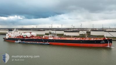
ARZANAH
Tanker
Current Trip
USCCLZ
| Time Travelled | 19 days |
|---|---|
| Remaining Time | --- |
| Distance Travelled | 4425.34 nm |
| Remaining Distance | --- |
| AVG Speed | 11.9 Knop |
| MAX Speed | 14.4 Knop |
| AVG Wind | 14 knots |
| MAX Wind | 31 knots |
| MIN Temp | 1.8°C / 35.24°F |
| MAX Temp | 27.3°C / 81.14°F |
| Djupgående | 15.1 m |
| Position mottagen | 5 d sen |
Current Position
| Longitud | --- |
|---|---|
| Latitude | --- |
| Status | Under way using engine |
| Fart | 12 Knop |
| Kurs | 92.6° |
| Område | Caribbean Sea |
| Station | T-AIS |
| Position mottagen | 5 d sen |
Info
Information
The current position of ARZANAH is in Caribbean Sea with coordinates 13.52426° / -60.62982° as reported on 2025-03-05 12:50 by AIS to our vessel tracker app. The vessel's current speed is 12 Knop
The vessel ARZANAH (IMO: 9928023, MMSI: 636021545) is a Tanker It's sailing under the flag of [LR] Liberia.
In this page you can find informations about the vessels current position, last detected port calls, and current voyage information. If the vessels is not in coverage by AIS you will find the latest position.
The current position of ARZANAH is detected by our AIS receivers and we are not responsible for the reliability of the data. The last position was recorded while the vessel was in Coverage by the Ais receivers of our vessel tracking app.
The current draught of ARZANAH as reported by AIS is 15.1 meters
Weather
| Temperature | 26.8°C / 80.24°F |
|---|---|
| Wind Speed | 5 knots |
| Direction | 81° E |
| Pressure | 1013.5 hPa |
| Humidity | 78.4 % |
| Cloud Coverage | 100 % |
Featured Company
Events
| Tid | Event | Detaljer | Position / Dest | Information |
|---|---|---|---|---|
| 2025-03-05 12:55 | Status ändrad | Default Under way using engine |
13.52341 / -60.61250
USCCLZ
|
Fart: 12 kn Kurs: 92.6° |
| 2025-03-05 12:50 | UTANFÖR täckningsområde |
13.52426 / -60.62982
Caribbean Sea
|
Fart: 12 kn Kurs: 92.6° |
|
| 2025-03-05 12:47 | Status ändrad | Under way using engine Default |
13.52456 / -60.64079
USCCLZ
|
Fart: 11.6 kn Kurs: 94° |
| 2025-03-05 12:33 | Status ändrad | Default Under way using engine |
13.52703 / -60.68676
USCCLZ
|
Fart: 11.8 kn Kurs: 91.8° |
| 2025-03-05 12:24 | Byter havsområde | Saint Lucia part of the Caribbean Sea Saint Vincent and the Grenadines part of the Caribbean Sea |
13.52772 / -60.71842
Caribbean Sea
|
Fart: 11.8 kn Kurs: 91.8° |
| 2025-03-05 12:24 | Status ändrad | Under way using engine Default |
13.52772 / -60.71842
USCCLZ
|
Fart: 11.6 kn Kurs: 92° |
| 2025-03-05 12:20 | I täckningsområde |
13.52772 / -60.71842
Caribbean Sea
|
Fart: 11.8 kn Kurs: 91.8° |
|
| 2025-03-05 09:51 | Status ändrad | Default Under way using engine |
13.52100 / -61.22025
USCCLZ
|
Fart: 12.7 kn Kurs: 85.4° |
| 2025-03-05 09:45 | UTANFÖR täckningsområde |
13.51914 / -61.24454
Caribbean Sea
|
Fart: 12.7 kn Kurs: 85.4° |
|
| 2025-03-05 09:34 | Status ändrad | Under way using engine Default |
13.51586 / -61.28417
USCCLZ
|
Fart: 12.9 kn Kurs: 85° |