
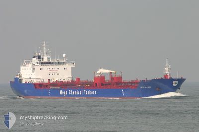
SUCCESS ALTAIR XLII
Oil/Chemical Tanker
Current Trip
ID SUB
| Time Travelled | 11 h, 10 mins |
|---|---|
| Remaining Time | --- |
| Distance Travelled | 9.55 nm |
| Remaining Distance | --- |
| AVG Speed | 4.4 Knopen |
| MAX Speed | 5.5 Knopen |
| AVG Wind | 2.6 knots |
| MAX Wind | 4.5 knots |
| MIN Temp | 29.1°C / 84.38°F |
| MAX Temp | 30.8°C / 87.44°F |
| Diepgang | 6.5 M |
| Positie ontvangen | 8 h, 38 m geleden |
Current Position
| Lengtegraad | --- |
|---|---|
| Breedtegraat | --- |
| Status | Under way using engine |
| Snelheid | 5.9 Knopen |
| Koers | 26.6° |
| Gebied | Java Sea |
| Station | T-AIS |
| Positie ontvangen | 8 h, 38 m geleden |
Info
Information
The current position of SUCCESS ALTAIR XLII is in Java Sea with coordinates -7.03340° / 112.67227° as reported on 2025-03-02 04:11 by AIS to our vessel tracker app. The vessel's current speed is 5.9 Knopen
The vessel SUCCESS ALTAIR XLII (IMO: 9173082, MMSI: 525018427) is a Oil/Chemical Tanker that was built in 1999 ( 26 Jaar oud ). It's sailing under the flag of [ID] Indonesia.
In this page you can find informations about the vessels current position, last detected port calls, and current voyage information. If the vessels is not in coverage by AIS you will find the latest position.
The current position of SUCCESS ALTAIR XLII is detected by our AIS receivers and we are not responsible for the reliability of the data. The last position was recorded while the vessel was in Coverage by the Ais receivers of our vessel tracking app.
The current draught of SUCCESS ALTAIR XLII as reported by AIS is 6.5 meters
Weather
| Temperature | 29.1°C / 84.38°F |
|---|---|
| Wind Speed | 5 knots |
| Direction | 357° N |
| Pressure | 1008.9 hPa |
| Humidity | 73.4 % |
| Cloud Coverage | 10 % |
Featured Company
Last Trips
Events
| Tijd | Evenement | Details | Positie / Bestemming | Info |
|---|---|---|---|---|
| 2025-03-02 10:28 | Start beweging | 18.97 nm, North East of GRESIK |
-6.87047 / 112.83211
ID SUB
|
Snelheid: 4.7 kn Koers: 48° |
| 2025-03-02 06:21 | Stop beweging | 18.14 nm, North East of GRESIK |
-6.87790 / 112.81764
ID SUB
|
Snelheid: Koers: 48° |
| 2025-03-02 04:26 | Status Changed | Default Under way using engine |
-7.00710 / 112.68523
ID SUB
|
Snelheid: 5.9 kn Koers: 26.6° |
| 2025-03-02 04:11 | Buitenbereik |
-7.03340 / 112.67227
Java Sea
|
Snelheid: 5.9 kn Koers: 26.6° |
|
| 2025-03-02 01:40 | Vertrekhaven |
|
-7.19308 / 112.72112
ID SUB
|
Snelheid: 3 kn Koers: 261° |
| 2025-03-02 01:37 | Start beweging |
-7.19283 / 112.72401
[ID] SURABAYA
|
Snelheid: 3.1 kn Koers: 259° |
|
| 2025-03-02 01:08 | Status Changed | Under way using engine Moored |
-7.19229 / 112.74487
[ID] SURABAYA
|
Snelheid: 1.5 kn Koers: 267° |
| 2025-03-02 00:05 | Status Changed | Moored Default |
-7.19367 / 112.74685
[ID] SURABAYA
|
Snelheid: Koers: 255° |
| 2025-03-02 00:02 | Status Changed | Default Moored |
-7.19368 / 112.74688
[ID] SURABAYA
|
Snelheid: Koers: 255° |
| 2025-03-01 23:32 | Status Changed | Moored Default |
-7.19367 / 112.74691
[ID] SURABAYA
|
Snelheid: Koers: 255° |