
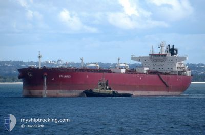
STI LAUREN
Tanker
Current Trip
| Time Travelled | 50 days |
|---|---|
| Remaining Time | --- |
| Distance Travelled | 11881.79 nm |
| Remaining Distance | --- |
| AVG Speed | 11.9 Knopen |
| MAX Speed | 11.9 Knopen |
| AVG Wind | 9 knots |
| MAX Wind | 30.9 knots |
| MIN Temp | 16.3°C / 61.34°F |
| MAX Temp | 32.5°C / 90.5°F |
| Diepgang | 14.6 M |
| Positie ontvangen | 1 d geleden |
Current Position
| Lengtegraad | 18.71263° |
|---|---|
| Breedtegraat | -35.05611° |
| Status | Under way using engine |
| Snelheid | 9.8 Knopen |
| Koers | 264.5° |
| Gebied | South Atlantic Ocean |
| Station | T-AIS |
| Positie ontvangen | 1 d geleden |
Info
Information
The current position of STI LAUREN is in South Atlantic Ocean with coordinates -35.05611° / 18.71263° as reported on 2024-05-16 09:33 by AIS to our vessel tracker app. The vessel's current speed is 9.8 Knopen and is heading at the port of ROTTERDAM. The estimated time of arrival as calculated by MyShipTracking vessel tracking app is 2024-06-04 11:00 LT
The vessel STI LAUREN (IMO: 9696711, MMSI: 538005512) is a Tanker It's sailing under the flag of [MH] Marshall Is.
In this page you can find informations about the vessels current position, last detected port calls, and current voyage information. If the vessels is not in coverage by AIS you will find the latest position.
The current position of STI LAUREN is detected by our AIS receivers and we are not responsible for the reliability of the data. The last position was recorded while the vessel was in Coverage by the Ais receivers of our vessel tracking app.
The current draught of STI LAUREN as reported by AIS is 14.6 meters
Weather
| Temperature | 18°C / 64.4°F |
|---|---|
| Wind Speed | 10 knots |
| Direction | 144° SE |
| Pressure | 1019.3 hPa |
| Humidity | 89.9 % |
| Cloud Coverage | 3 % |
Featured Company
Events
| Tijd | Evenement | Details | Positie / Bestemming | Info |
|---|---|---|---|---|
| 2024-05-16 09:39 | Status Changed | Default Under way using engine |
-35.05624 / 18.69467
ROTTERDAM FOR ORDERS
|
Snelheid: 9.8 kn Koers: 264.5° |
| 2024-05-16 09:33 | Wijzig zee gebeid | South African part of the South Atlantic Ocean Omani part of the Gulf of Oman |
-35.05611 / 18.71263
South Atlantic Ocean
ROTTERDAM FOR ORDERS
|
Snelheid: 9.8 kn Koers: 264.5° |
| 2024-05-16 09:33 | Status Changed | Under way using engine Default |
-35.05611 / 18.71263
ROTTERDAM FOR ORDERS
|
Snelheid: 9.6 kn Koers: 262° |
| 2024-05-16 09:33 | Binnenbereik |
-35.05611 / 18.71263
South Atlantic Ocean
ROTTERDAM FOR ORDERS
|
Snelheid: 9.8 kn Koers: 264.5° |
|
| 2024-05-16 09:33 | Buitenbereik |
-35.05611 / 18.71263
South Atlantic Ocean
ROTTERDAM FOR ORDERS
|
Snelheid: 9.8 kn Koers: 264.5° |
|
| 2024-05-09 10:11 | Start beweging | 5.14 nm, North West of MORONI |
-11.62975 / 43.20036
ROTTERDAM FOR ORDERS
|
Snelheid: 3.8 kn Koers: 155° |
| 2024-05-09 09:40 | Stop beweging | 5.53 nm, North West of MORONI |
-11.62266 / 43.19936
ROTTERDAM FOR ORDERS
|
Snelheid: 0.2 kn Koers: 188° |