
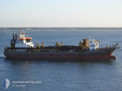
PRINS DER NEDERLAND
Trailing Suction Hopper Dredger
Current Trip
MANILA
| Time Travelled | 51 days |
|---|---|
| Remaining Time | --- |
| Distance Travelled | 7034.11 nm |
| Remaining Distance | --- |
| AVG Speed | 11 Knopen |
| MAX Speed | 17.4 Knopen |
| AVG Wind | 7.6 knots |
| MAX Wind | 26 knots |
| MIN Temp | 23.3°C / 73.94°F |
| MAX Temp | 32.1°C / 89.78°F |
| Diepgang | 6.3 M |
| Positie ontvangen | 1 h, 21 m geleden |
Current Position
| Lengtegraad | --- |
|---|---|
| Breedtegraat | --- |
| Status | Restricted manoeuverability |
| Snelheid | 14.2 Knopen |
| Koers | 240.2° |
| Gebied | South China Sea |
| Station | T-AIS |
| Positie ontvangen | 1 h, 21 m geleden |
Info
Information
The current position of PRINS DER NEDERLAND is in South China Sea with coordinates 14.48711° / 120.81696° as reported on 2024-10-01 02:58 by AIS to our vessel tracker app. The vessel's current speed is 14.2 Knopen
The vessel PRINS DER NEDERLAND (IMO: 9263899, MMSI: 212640000) is a Trailing Suction Hopper Dredger that was built in 2004 ( 20 Jaar oud ). It's sailing under the flag of [CY] Cyprus.
In this page you can find informations about the vessels current position, last detected port calls, and current voyage information. If the vessels is not in coverage by AIS you will find the latest position.
The current position of PRINS DER NEDERLAND is detected by our AIS receivers and we are not responsible for the reliability of the data. The last position was recorded while the vessel was in Coverage by the Ais receivers of our vessel tracking app.
The current draught of PRINS DER NEDERLAND as reported by AIS is 6.3 meters
Weather
| Temperature | 28.9°C / 84.02°F |
|---|---|
| Wind Speed | 16 knots |
| Direction | 218° SW |
| Pressure | 1008.8 hPa |
| Humidity | 77.8 % |
| Cloud Coverage | 100 % |
Featured Company
Most Visited Ports (Last year)
| Port | Arrivals | |
|---|---|---|
| 75 | ||
| 1 |
Events
| Tijd | Evenement | Details | Positie / Bestemming | Info |
|---|---|---|---|---|
| 2024-10-01 03:05 | Status Changed | Default Restricted manoeuverability |
14.47393 / 120.79308
MANILA
|
Snelheid: 14.2 kn Koers: 240.2° |
| 2024-10-01 02:58 | Buitenbereik |
14.48711 / 120.81696
South China Sea
|
Snelheid: 14.2 kn Koers: 240.2° |
|
| 2024-10-01 00:26 | Status Changed | Restricted manoeuverability Default |
14.49018 / 120.79378
MANILA
|
Snelheid: 16.6 kn Koers: 68° |
| 2024-10-01 00:26 | Binnenbereik |
14.51136 / 120.84544
South China Sea
|
Snelheid: 16.4 kn Koers: 66.7° |
|
| 2024-10-01 00:21 | Status Changed | Default Restricted manoeuverability |
14.48212 / 120.77349
MANILA
|
Snelheid: 16.6 kn Koers: 68° |
| 2024-10-01 00:19 | Status Changed | Restricted manoeuverability Default |
14.47843 / 120.76420
MANILA
|
Snelheid: 16.6 kn Koers: 68° |
| 2024-09-30 20:49 | Status Changed | Default Restricted manoeuverability |
14.43596 / 120.73766
MANILA
|
Snelheid: 14.1 kn Koers: 241.1° |
| 2024-09-30 20:44 | Buitenbereik |
14.44482 / 120.75428
South China Sea
|
Snelheid: 14.1 kn Koers: 241.1° |
|
| 2024-09-30 19:46 | Start beweging | 2.75 nm, West of MANILA SOUTH HARBOR |
14.54844 / 120.93136
MANILA
|
Snelheid: 3.6 kn Koers: 210° |
| 2024-09-30 18:44 | Stop beweging | 2.61 nm, South West of MANILA SOUTH HARBOR |
14.54503 / 120.93564
MANILA
|
Snelheid: 0.3 kn Koers: 343° |