
PORT MACAU
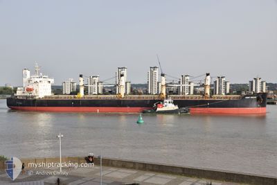
Bulk Carrier
Current Trip
TABONEO
| Time Travelled | 3 days |
|---|---|
| Remaining Time | --- |
| Distance Travelled | 1011.11 nm |
| Remaining Distance | --- |
| AVG Speed | 10.9 Knopen |
| MAX Speed | 13 Knopen |
| AVG Wind | 8.3 knots |
| MAX Wind | 16 knots |
| MIN Temp | 25.4°C / 77.72°F |
| MAX Temp | 29.8°C / 85.64°F |
| Diepgang | 6.2 M |
| Positie ontvangen | 5 m geleden |
Current Position
| Lengtegraad | 118.27909° |
|---|---|
| Breedtegraat | 23.63299° |
| Status | Under way using engine |
| Snelheid | 9.7 Knopen |
| Koers | 229.3° |
| Gebied | South China Sea |
| Station | T-AIS |
| Positie ontvangen | 5 m geleden |
Info
Information
The current position of PORT MACAU is in South China Sea with coordinates 23.63299° / 118.27909° as reported on 2024-09-08 02:05 by AIS to our vessel tracker app. The vessel's current speed is 9.7 Knopen
The vessel PORT MACAU (IMO: 9423475, MMSI: 538008252) is a Bulk Carrier that was built in 2008 ( 16 Jaar oud ). It's sailing under the flag of [MH] Marshall Is.
In this page you can find informations about the vessels current position, last detected port calls, and current voyage information. If the vessels is not in coverage by AIS you will find the latest position.
The current position of PORT MACAU is detected by our AIS receivers and we are not responsible for the reliability of the data. The last position was recorded while the vessel was in Coverage by the Ais receivers of our vessel tracking app.
The current draught of PORT MACAU as reported by AIS is 6.2 meters
Weather
| Temperature | 26.9°C / 80.42°F |
|---|---|
| Wind Speed | 5 knots |
| Direction | 59° ENE |
| Pressure | 1010.6 hPa |
| Humidity | 86.7 % |
| Cloud Coverage | 58 % |
Featured Company
Most Visited Ports (Last year)
| Port | Arrivals | |
|---|---|---|
| 2 | ||
| 2 | ||
| 2 | ||
| 1 | ||
| 1 | ||
| 1 |
Events
| Tijd | Evenement | Details | Positie / Bestemming | Info |
|---|---|---|---|---|
| 2024-09-08 01:36 | Status Changed | Under way using engine Default |
23.68757 / 118.34373
TABONEO
|
Snelheid: 10 kn Koers: 221° |
| 2024-09-08 01:32 | Status Changed | Default Under way using engine |
23.69622 / 118.35229
TABONEO
|
Snelheid: 9.9 kn Koers: 216.9° |
| 2024-09-08 01:05 | Status Changed | Under way using engine Default |
23.75736 / 118.39565
TABONEO
|
Snelheid: 10.1 kn Koers: 223° |
| 2024-09-08 00:59 | Status Changed | Default Under way using engine |
23.77010 / 118.40877
TABONEO
|
Snelheid: 10.1 kn Koers: 223.7° |
| 2024-09-08 00:48 | Status Changed | Under way using engine Default |
23.79333 / 118.43292
TABONEO
|
Snelheid: 10.2 kn Koers: 221° |
| 2024-09-08 00:38 | Status Changed | Default Under way using engine |
23.81397 / 118.45354
TABONEO
|
Snelheid: 10.3 kn Koers: 222.3° |
| 2024-09-08 00:17 | Wijzig zee gebeid | Chinese part of the South China Sea Malaysian part of the Singapore Strait |
23.86032 / 118.49704
South China Sea
|
Snelheid: 10.4 kn Koers: 220.1° |
| 2024-09-08 00:17 | Status Changed | Under way using engine Default |
23.86106 / 118.49774
TABONEO
|
Snelheid: 10.5 kn Koers: 215° |
| 2024-09-08 00:08 | Binnenbereik |
23.86032 / 118.49704
South China Sea
|
Snelheid: 10.4 kn Koers: 220.1° |
|
| 2024-09-04 05:31 | Vertrekhaven |
|
33.35062 / 133.28464
TABONEO
|
Snelheid: Koers: 331° |