

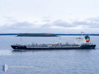
ORIENTAL GERBERA
Tanker

Current Trip
| Time Travelled | 8 days |
|---|---|
| Remaining Time | --- |
| Distance Travelled | 633.72 nm |
| Remaining Distance | --- |
| AVG Speed | 12.6 Knopen |
| MAX Speed | 17.3 Knopen |
| AVG Wind | 8.7 knots |
| MAX Wind | 16.3 knots |
| MIN Temp | 22.4°C / 72.32°F |
| MAX Temp | 27.8°C / 82.04°F |
| Diepgang | 7.8 M |
| Positie ontvangen | 2025-01-28 02:20 |
Current Position
| Lengtegraad | --- |
|---|---|
| Breedtegraat | --- |
| Status | Under way using engine |
| Snelheid | 10.3 Knopen |
| Koers | 152.6° |
| Gebied | South Atlantic Ocean |
| Station | T-AIS |
| Positie ontvangen | 2025-01-28 02:20 |
Information
The current position of ORIENTAL GERBERA is in South Atlantic Ocean with coordinates -21.63648° / 10.89153° as reported on 2025-01-28 02:20 by AIS to our vessel tracker app. The vessel's current speed is 10.3 Knopen and is heading at the port of WALVIS BAY.
The vessel ORIENTAL GERBERA (IMO: 9924716, MMSI: 352001292) is a Tanker It's sailing under the flag of [PA] Panama.
In this page you can find informations about the vessels current position, last detected port calls, and current voyage information. If the vessels is not in coverage by AIS you will find the latest position.
The current position of ORIENTAL GERBERA is detected by our AIS receivers and we are not responsible for the reliability of the data. The last position was recorded while the vessel was in Coverage by the Ais receivers of our vessel tracking app.
The current draught of ORIENTAL GERBERA as reported by AIS is 7.8 meters
Weather
| Temperature | 23.5°C / 74.3°F |
|---|---|
| Wind Speed | 12 knots |
| Direction | 290° WNW |
| Pressure | 1012.5 hPa |
| Humidity | 68.5 % |
| Cloud Coverage | 1 % |


Featured Company
Last Port Calls
| Port | Arrival | Departure | Time In Port |
|---|---|---|---|
| 2025-02-20 14:49 | 2025-02-21 17:05 | 1 d | |
| 2025-01-08 09:00 | 2025-01-09 13:01 | 1 d | |
| 2025-01-02 22:09 | 2025-01-06 02:56 | 3 d |
Most Visited Ports (Last year)
| Port | Arrivals | |
|---|---|---|
| 6 | ||
| 3 | ||
| 3 | ||
| 2 | ||
| 2 | ||
| 1 |
Last Trips
| Origin | Departure | Destination | Arrival | Distance | |
|---|---|---|---|---|---|
| 2025-01-09 14:01 | 2025-02-20 20:19 | 11569.44 nm | |||
| 2025-01-06 03:56 | 2025-01-08 10:00 | 212.38 nm | |||
| 2024-12-26 03:46 | 2025-01-02 23:09 | 2218.62 nm |
Events
| Tijd | Evenement | Details | Positie / Bestemming | Info |
|---|---|---|---|---|
| 2025-03-01 08:18 | Stop beweging | 17.66 nm, South West of KANDLA |
22.77167 / 70.03775
NA WVB
|
Snelheid: 0.2 kn Koers: 229° |
| 2025-02-28 07:53 | Start beweging | 17.52 nm, East of MUNDRA |
22.74703 / 70.00449
NA WVB
|
Snelheid: 5.9 kn Koers: 228° |
| 2025-02-23 13:20 | Stop beweging | 17.97 nm, East of MUNDRA |
22.75072 / 70.01239
NA WVB
|
Snelheid: 0.2 kn Koers: 241° |
| 2025-02-21 17:05 | Vertrekhaven |
|
22.94086 / 70.24204
NA WVB
|
Snelheid: 12.5 kn Koers: 164° |
| 2025-02-21 16:36 | Start beweging |
23.03118 / 70.22665
[IN] KANDLA
|
Snelheid: 4.3 kn Koers: 164° |
|
| 2025-02-20 14:49 | Stop beweging |
23.03376 / 70.22323
[IN] KANDLA
|
Snelheid: 0.1 kn Koers: 289° |
|
| 2025-02-20 14:49 | Aankomsthaven |
|
23.03376 / 70.22323
[IN] KANDLA
|
Snelheid: 1 kn Koers: 341° |
| 2025-02-20 12:32 | Start beweging | 16.62 nm, South West of KANDLA |
22.80523 / 70.01784
NA WVB
|
Snelheid: 8 kn Koers: 64° |