
MONTE ULIA
Tanker
Current Trip
| Time Travelled | 13 days |
|---|---|
| Remaining Time | --- |
| Distance Travelled | 2417.07 nm |
| Remaining Distance | --- |
| AVG Speed | 10.8 Knopen |
| MAX Speed | 15.1 Knopen |
| AVG Wind | 12.1 knots |
| MAX Wind | 26 knots |
| MIN Temp | 2.5°C / 36.5°F |
| MAX Temp | 15.4°C / 59.72°F |
| Diepgang | 9.3 M |
| Positie ontvangen | 1 d geleden |
Current Position
| Lengtegraad | -10.48485° |
|---|---|
| Breedtegraat | 39.16497° |
| Status | Under way using engine |
| Snelheid | 10.7 Knopen |
| Koers | 185.8° |
| Gebied | North Atlantic Ocean |
| Station | T-AIS |
| Positie ontvangen | 1 d geleden |
Info
Information
The current position of MONTE ULIA is in North Atlantic Ocean with coordinates 39.16497° / -10.48485° as reported on 2024-05-01 22:49 by AIS to our vessel tracker app. The vessel's current speed is 10.7 Knopen
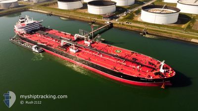
The vessel MONTE ULIA (IMO: 9803285, MMSI: 255806025) is a Tanker It's sailing under the flag of [PT] Portugal.
In this page you can find informations about the vessels current position, last detected port calls, and current voyage information. If the vessels is not in coverage by AIS you will find the latest position.
The current position of MONTE ULIA is detected by our AIS receivers and we are not responsible for the reliability of the data. The last position was recorded while the vessel was in Coverage by the Ais receivers of our vessel tracking app.
The current draught of MONTE ULIA as reported by AIS is 9.3 meters
Weather
| Temperature | 15.3°C / 59.54°F |
|---|---|
| Wind Speed | 8 knots |
| Direction | 292° WNW |
| Pressure | 1021.7 hPa |
| Humidity | 64.1 % |
| Cloud Coverage | 52 % |
Featured Company
Events
| Tijd | Evenement | Details | Positie / Bestemming | Info |
|---|---|---|---|---|
| 2024-05-02 20:31 | Stop beweging |
38.03667 / -10.40500
SETUBAL
|
Snelheid: Koers: -1° |
|
| 2024-05-01 22:52 | Status Changed | Default Under way using engine |
39.15667 / -10.48500
SETUBAL
|
Snelheid: 10.7 kn Koers: 185.8° |
| 2024-05-01 22:49 | Buitenbereik |
39.16497 / -10.48485
North Atlantic Ocean
SETUBAL
|
Snelheid: 10.7 kn Koers: 185.8° |
|
| 2024-05-01 21:00 | Status Changed | Under way using engine Default |
39.48792 / -10.44799
SETUBAL
|
Snelheid: 10 kn Koers: 183° |
| 2024-05-01 20:31 | Status Changed | Default Under way using engine |
39.57500 / -10.43833
SETUBAL
|
Snelheid: 10.5 kn Koers: 188.3° |
| 2024-05-01 20:05 | Status Changed | Under way using engine Default |
39.67117 / -10.42474
SETUBAL
|
Snelheid: 10.5 kn Koers: 186° |
| 2024-05-01 19:54 | Status Changed | Default Under way using engine |
39.68231 / -10.42281
SETUBAL
|
Snelheid: 10.6 kn Koers: 185.8° |
| 2024-05-01 19:38 | Status Changed | Under way using engine Default |
39.72928 / -10.41601
SETUBAL
|
Snelheid: 10.7 kn Koers: 185° |
| 2024-05-01 19:26 | Binnenbereik |
39.72928 / -10.41601
North Atlantic Ocean
SETUBAL
|
Snelheid: 10.7 kn Koers: 185° |
|
| 2024-05-01 18:25 | Buitenbereik |
39.94425 / -10.38106
North Atlantic Ocean
SETUBAL
|
Snelheid: 10.4 kn Koers: 188.2° |